4.6 km one way
Access easements to Mt Alford may be closed from 20 September to 20 October each year for farming purposes.
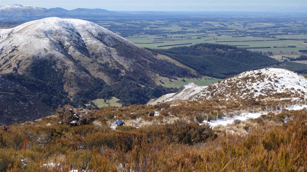
The marked track passes through Alford Scenic Reserve before climbing beside a stream gully clothed in beech/tawhairauriki and then emerges onto tussock/wī grassland. The route through this open section is on private land so please follow the track markers.
The access then re-enters public conservation land and climbs through subalpine vegetation to the summit of Mt Alford (1,171 m). From the summit there are wide views across the Canterbury Plains and the inland mountains.
Access to Mt Alford Conservation Area is signposted from the car park at the end of Alford Settlement Road, which is off the Arundel Rakaia Gorge Road (Highway 72). The car park is 12.5 km from Methven.
Wasps may be present in high numbers, particularly during summer. Consider carrying an antihistamine product and if you are allergic to stings, ensure you bring your medication.
As the area is unusually wet, podocarp tree species survive and are regenerating well (after historic logging and burning) in the scenic reserve.
Around the summit of Mt Alford is subalpine shrubland dominated by Dracophyllum and slim-leaved snow tussock/wī. A small stand of Hall’s tōtara is also present.
Typical forest birds found in the bush are fantail/pīwakawaka, bellbird/korimako, grey warbler/riroriro, rifleman/tītitipounamu, tomtit/miromiro and silvereye/tauhou.
Stay safe in the outdoors
- Choose the right trip for you. Learn about the route and make sure you have the skills for it.
- Understand the weather. Check weather forecasts.
- Pack warm clothes and extra food. Check gear lists.
- Share your plans and take ways to get help. Leave your intentions with a trusted contact and take a distress beacon.
- Take care of yourself and each other.
Aoraki/Mount Cook National Park Visitor Centre
| Phone: | +64 3 435 1186 |
| Email: | mtcookvc@doc.govt.nz |
| Address: | 1 Larch Grove Aoraki/Mount Cook 7999 |
| Hours: | Visitor centre hours and services |
