Department of Conservation | Te Papa Atawhai
https://www.doc.govt.nz/
https://www.doc.govt.nz/
Located in Wānaka area in the Otago region
Introduction
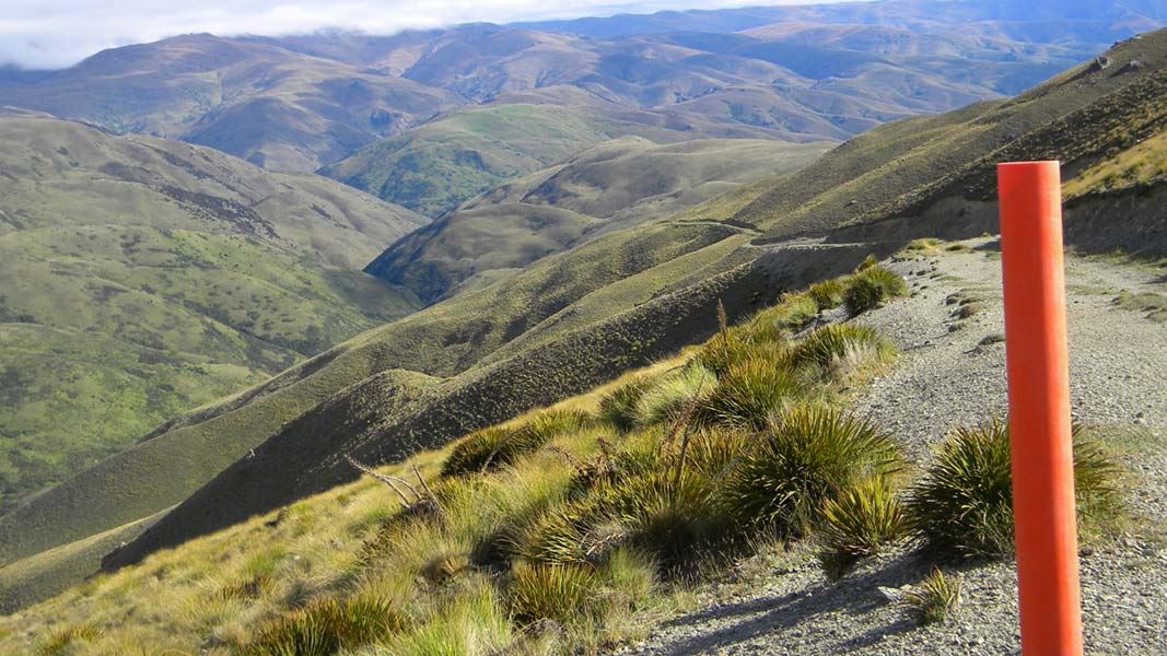
Highly visible over a large area of the surrounding landscape, the Grandview Ridge provides a spectacular vantage point for views over the upper Clutha Valley and peaks beyond.Various from 10.5 - 43.5 km
Walking and tramping
Mountain biking
Seasonal restrictions
Three sections are closed annually for lambing:
- Deep Gully Track: 30 September to 4 November
- Eastern Hills Track: 26 September to 7 November
- Grandview Mountain Track (no exit): 5 October to 16 November
Dog access
Stay safe in the outdoors
- Choose the right trip for you. Learn about the route and make sure you have the skills for it.
- Understand the weather. Check weather forecasts.
- Pack warm clothes and extra food. Check gear lists.
- Share your plans and take ways to get help. Share directly or use the Outdoor Intentions form or Plan My Walk. Take a distress beacon.
- Take care of yourself and each other.