Image: Ray Salisbury | ©
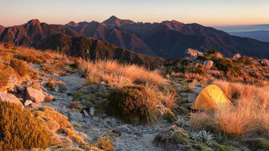
Paparoa ranges in the evening light.
Southern Paparoa Range

Located in the West Coast region

Travelling through the area gives you spectacular views over the Grey Valley and Southern Alps, stretching from the main divide to the Tasman Sea. Discover the rich gold mining history, beautiful native forests, and enjoy a great range of recreational activities.
The Southern Paparoa Ranges are north of Greymouth and can be accessed via:

  • Barrytown (20 min) - drive north of Greymouth on SH6 until you reach Barrytown.
  • Blackball (15 min) - Drive north of Greymouth on SH6 and turn right onto Taylorville Road. Go through Tayorville township. Turn left onto Taylorville-Blackball Road. Turn left onto Main Road heading into the Blackball township.
  • Moonlight (25 min) - Drive north of Greymouth on SH6 and turn right onto Taylorville Road. Go through Taylorville township. Turn left onto Taylorville-Blackball Road. Continue onto Atarau road and go straight onto Moonlight Road until Andersons Flat.

Weather

The Croesus/Moonlight area is within the Paparoa Ranges. Sudden weather changes are the norm and snow is possible at any time of the year. Rain can quickly make even small streams treacherous to cross. Even on fine days, mist can rise to cloud on the mountain tops making navigation difficult.

For track conditions, maps, weather forecasts and more information on the area contact the Māwhera / Greymouth DOC Office.

What to bring

If walking or riding any of the tracks or routes in the area you are advised to carry:

  • K31 topographical map and compass
  • sleeping bag
  • cooking utensils
  • portable stove and fuel
  • sufficient food
  • basic first aid kit
  • raincoat and warm clothing including gloves and a hat
  • insect repellent

Gold fossicking

You can only fossick for gold in designated areas. Only hand-held tools are allowed. More on gold fossicking areas and rules.

Flora and fauna

The Croesus and Moonlight tracks traverse a range of vegetation types that reflect changes in altitude and proximity to the coast or to river valleys.

Native birds range from common forest birds to rarer species including kaka, falcon, blue duck/whio, fern bird, and great spotted kiwi/roroa.

More information on:

Introduced deer, goats and possums may be seen in the forest and out on the tops.

Geology

The Southern Paparoa Range mainly consists of sedimentary rocks, formed on ancient sea beds and later thrust up by tectonic forces. Hard mudstone dominates, but some limestone, sandstone, conglomerates and coal seams may be found, along with occasional quartz outcrops.

The Paparoa Wildlife Trust

The Paparoa Wildlife Trust monitors great spotted kiwi/roroa (Apteryx haastii) and blue duck/whio (Hymenolaimus malacorhynchos) in the Croesus/ Moonlight area. These birds have been in dramatic decline in this area and the Trust aims to reverse this trend. 

The project has over 1400 traps over an area of 13,000 ha across the Southern Paparoas. These are serviced by members of the Trust on a regular basis.

Pack tracks

In the early days of European settlement, tracks known as 'pack tracks' or 'bridle paths' were built to open up the back blocks for mining, farming, tourism and other commerce. Horses were commonly used to access timber and mining sites, as well as transporting goods and equipment throughout the country. 

Stonework cuttings and rockwork were skilfully built using various traditional building techniques on the tracks, many of which are still used today. The Croesus Track, built between 1880 and 1899, is one of the best surviving examples of a pack track in New Zealand.  

Moonlight goldfield

The Moonlight goldfield was one of the richest alluvial strikes on the West Coast and was famous for producing large nuggets. Stone heaps and evidence of water channels are obvious alongside the Moonlight walking track only a few minutes from the car park.

George Moonlight proved to be an excellent gold prospector, and his name was given to the area along with several other places throughout New Zealand. The Anderson's flat area was named after the Anderson family, one of a number of families that made a good living near the flat where the Moonlight Pack Track begins.

Andrew Gordon at his hut in Moonlight Goldfield. Photo: Christie Collection.
Andrew Gordon at his hut in Moonlight Goldfield.

Image drawn by Tas Turner as a replicate of Andersons Flat as it was in early 1900s.
Image drawn by Tas Turner of Andersons Flat as it was in the early 1900s

The Croesus and Moonlight area was known for both quartz and alluvial gold mining and pack tracks were established to facilitate access to the gold mining areas.

Look out for relics such as:

  • 19th century alluvial workings along the main Croesus Track
  • impressieve quartz mining remains at the Garden Gully Battery site (on a short side track off Croeus Track) 
  • remains of the old aerial ropeway that transported quartz from the mountain down into Blackball Creek on Croesus Knob

Historic huts

Get a taste of what life was like for miners by visiting the historic Garden Gully Hut, the last of five huts built in Garden Gully in the 1930s. Or spend the night in the historic Croesus Top Hut, a basic hut on the Moonlight/Croesus Route.