11.6 km one way
The Pike29 Memorial Track climbs from the former Pike River Mine site to the junction with the Paparoa Track.
Pike29 Memorial Carpark to the Twin Bridges: 10-15 min walk from the carpark (return)
Pike29 Memorial Carpark to the vent shaft viewpoint (one way): 3 hr 30 min - 4 hr walk | 2 - 3 hr mountain bike (8.4 km)
Track description
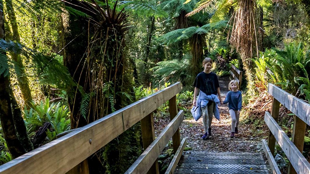
From the Pike River Mine site, the shared-use track heads up Pike valley through virgin podocarp and red beech forest. The vegetation consists of low alpine scrub and dwarf, weatherbeaten alpine forest. It is a steep climb of about 800 m of elevation to the tops.
The ridgetop offers views into Pike valley and the Pike River mine vent shaft to the north, and bush-clad valleys to the south. The track then descends towards the Paparoa Track junction.
This is a shared-use track. Follow the mountain bikers code: respect others, respect the rules, respect the track.
From Greymouth, turn off SH 6 onto Taylorville Road. Turn left into Taylorville-Blackball Road. This road becomes Atarau Road.
Turn off from Atarau Road onto Logburn Road 15 km north-east of Blackball, and follow to the end (becomes Pike Valley Road).
Note: The Pike River Road is a narrow, windy gravel road with speed limits posted along the road. The road bridges have weight limits for heavy vehicles of single axle 6T and tandem axle of 14T. The car park and turnaround space at the road end by the Pike29 Memorial Track are small so buses and long campervans are not recommended.
Be prepared for bad weather
Weather in the Paparoa National Park is changeable. Heavy rain can occur with little warning. Be prepared for rain, heavy fog, snow and high wind.
If you are hiking or biking in winter, check snow and ice conditions before you leave and allow extra time. Consider changing your trip to another day if needed.
Paparoa National Park weather forecast – NIWA website
The track is steep, be prepared for a long climb
If you are starting your hike or bike ride from the Pike29 Memorial Track car park, be prepared for a steep track. You will need a good level of fitness. The track climbs approximately 800 m of elevation to the tops before descending down to the Paparoa Track junction.
What to take
Pack warm layers, a rain coat and wear sturdy boots. Take plenty of food and water with you. It might be lots colder at the tops than at the car park.
Mountain biking rules
- E-bikes are not allowed. E-bikes are prohibited under the Paparoa National Park Management Plan.
- Riding at night is not allowed, to protect nocturnal species found on the track.
This is a shared-use track. Follow the mountain bikers code: respect others, respect the rules, respect the track.
Remembering the Pike29
The 29 men killed in the Pike River mine disaster will be remembered in a number of ways. At the families wishes, the mine site and surrounding area has become part of the Paparoa National Park.
A track has been constructed from the former mine site to the Paparoa Track. This track has been dedicated to the men and named the Pike29 Memorial Track in their honour.
Read more about the Pike Valley and Pike29 Memorial mine site.
Stay safe in the outdoors
- Choose the right trip for you. Learn about the route and make sure you have the skills for it.
- Understand the weather. Check weather forecasts.
- Pack warm clothes and extra food. Check gear lists.
- Share your plans and take ways to get help. Leave your intentions with a trusted contact and take a distress beacon.
- Take care of yourself and each other.
Paparoa National Park Visitor Centre
| Phone: | +64 3 731 1895 |
| Email: | paparoavc@doc.govt.nz |
| Address: | 4294 Coast Road Punakaiki RD 1 Runanga 7873 |
| Hours: | Visitor centre hours and services |
