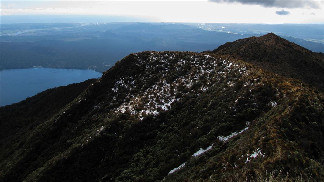
The track begins at Lake Kaniere, from the southern end of Hans Bay. The signposted entrance is on the southern side of Tuhua Creek Bridge.
This track to the open tussock peak of Mt Tuhua (1,125 m) is steep and is suitable for fit trampers only. The track is marked with orange triangles for its entire length. Check weather and track conditions before setting out.
From Hokitika head east along Lake Kaniere Road for 19 km. This road meets the lake at 'The Landing'. The road forks at this point, the right road heads to 'Sunny Bight' and the other is Dorothy Falls Road which takes you around the east side of the lake past Hans Bay.
- You should take strong comfortable tramping boots, warm clothing, as well as spare clothing and a good water proof raincoat.
- Remember to take plenty of water with you and high energy food.
- The trip should not be attempted in bad or cloudy weather, as it will become difficult to locate the track markers on the open tussock tops; you will also miss the spectacular panorama of The Southern Alps, Lake Kaniere, Hokitika and the coastal plains.
- You will require topographical Map J33 Kaniere.
For track conditions, maps, weather forecasts and more information on the area contact the local DOC office.
Stay safe in the outdoors
- Choose the right trip for you. Learn about the route and make sure you have the skills for it.
- Understand the weather. Check weather forecasts.
- Pack warm clothes and extra food. Check gear lists.
- Share your plans and take ways to get help. Share directly or use the Outdoor Intentions form or Plan My Walk. Take a distress beacon.
- Take care of yourself and each other.
Paparoa National Park Visitor Centre | |
---|---|
Phone | +64 3 731 1895 |
paparoavc@doc.govt.nz | |
Address | 4294 Coast Road Punakaiki RD 1 Runanga 7873 |
Hours | Visitor centre hours and services |