Image: Deb Hogan | DOC
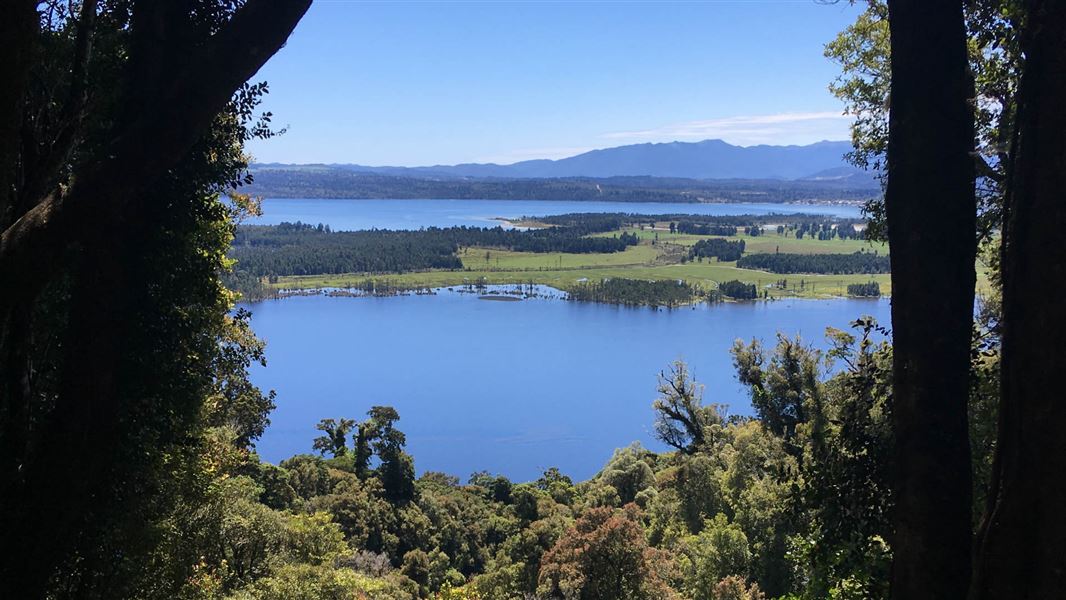
Te Kinga lookout.
Mount Te Kinga Track/Ara O Te Kinga

Located in Lake Brunner area in the West Coast region

Climb to a lookout for spectacular views, or continue to the summit of Mount Te Kinga.

To lookouts

Time: 3 hr return
Distance: 5.4 km

The track initially climbs 300 m to two lookouts. The forest contains fine specimens of kahikatea, rimu and matai, and is well populated by a variety of native birds. From the lookouts, there are views out across the lake to Iveagh Bay, the outlet of Crooked River and Moana township.

To Mt Te Kinga

Time: 8 hr return
Distance: 12.4 km

From the second lookout, the track becomes a route and is a more serious prospect. The forest is as impressive as before, species changing with altitude to kaikawaka, neinei and massive southern rata, succeeded by pink pine as forest thins and gives way to alpine plants. The open tops are reached at about 1000 m, but some climbing is still required to reach the first peak at 1196 m.

From the summit on clear days there are views out to the Paparoa Range and Tasman Sea in one direction, and to Mt Alexander and the main divide in another. Immediately west is the Hohonu Range, while to the north east are Kangaroo and Lady Lakes. Lake Brunner’s only islands, Takataka or Refuge Islands, are prominent to the north with Pah Point immediately beyond them.

For people who want to explore further, there are moderate climbs and descents for nearly a kilometre eastward along the summit ridge to the second peak at 1204 m.

Return is via the same route.

The track starts east of Lake Brunner, inland from Greymouth, between SH 73 and SH 7.

Turn off  SH 7 near Stillwater onto Arnold Valley Road, and follow this to the township of Moana (22 km). From Moana, continue on Lake Brunner Road to Te Kinga (5 km), then turn into Cashmere Road and follow this to the end (2 km).