Department of Conservation | Te Papa Atawhai
https://www.doc.govt.nz/
https://www.doc.govt.nz/
Located in Haast, Paringa and Moeraki rivers area in the West Coast region
Introduction
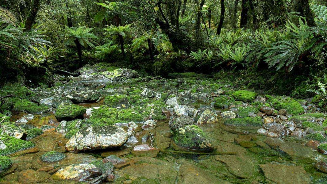
This track was built in 1875 by farmers at Haast. Stock were driven from the Landsborough and Cascade valleys to sale yards at Whataroa.Stay safe in the outdoors
- Choose the right trip for you. Learn about the route and make sure you have the skills for it.
- Understand the weather. Check weather forecasts.
- Pack warm clothes and extra food. Check gear lists.
- Share your plans and take ways to get help. Share directly or use the Outdoor Intentions form or Plan My Walk. Take a distress beacon.
- Take care of yourself and each other.