The gate to Catchpool valley is open:
- 6 am – 8 pm from 28 September until 7 April
- 6 am – 6 pm from 8 April until 27 September
Track entrance to Matthews Stream
Mt Matthews is the tallest peak in the Remutaka range and the nearest to Wellington.
The tramping track to Mt Matthews is a tough climb suitable for fit trampers. It is a long day walk or overnight tramp.
Walking the track
Follow the gentle gradient of the Ōrongorongo Track for about 5 km before descending to an arched bridge over the Turere Stream to the Ōrongorongo River.
Walk up the river bed and/or Big Bend Track for another 4 km (an hour) until you reach Matthews Stream, marked with a large orange triangle. A poled route criss-crosses the stream for about 600 metres leading to the start of the Mt Matthews Track on the true left.
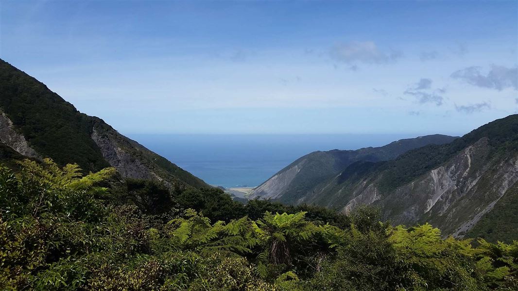
The track climbs steeply, passing the South Saddle/Mukamuka Track and emerging onto a grassy plateau with spectacular views of Wellington Harbour and the lower Wainuiomata Valley. The summit is clad with forest, but you can catch glimpses of Palliser Bay, and the Wairarapa Plains through gaps in the trees.
Native vegetation on the track
Nikau palms and kiekie vines are the first native plants you encounter on your ascent. They lead to a more open area of red beech forest after which you'll pass through pockets of rimu, miro and kamahi.
The steep section passes through open beech forest to the grassy plateau. The steepest face at the end leads to a narrow section of ridge adorned by moss-clad silver beech.
You see evidence of the earthquakes which uplifted the range over the last 12 million years. The last, in 1855, measured about eight on the Richter scale and raised the Remutakas by around three metres.
Catchpool valley is 12 km south of Wainuiomata. Follow the Coast Road for 10 km to the Remutaka Forest Park entrance, then follow the Catchpool valley road for 2 km to the car park and information area.
If the water is flowing over the ford on the road, park before the ford and use the Nga Taonga Nature Walk to reach the car park.
From the car park walk the Ōrongorongo and Big Bend tracks to Matthews Stream about 9 km from car park. Mt Matthews Track begins at Matthews Stream.
Mountain weather can quickly change - make sure you're equipped with warm clothes, food and water and good walking boots.
Note the Catchpool valley gates close at the end of the day.
Stay safe in the outdoors
- Choose the right trip for you. Learn about the route and make sure you have the skills for it.
- Understand the weather. Check weather forecasts.
- Pack warm clothes and extra food. Check gear lists.
- Share your plans and take ways to get help. Share directly or use the Outdoor Intentions form or Plan My Walk. Take a distress beacon.
- Take care of yourself and each other.
Wellington/Kapiti information | |
Phone: | +64 3 546 9339 |
Email: | nelsonvc@doc.govt.nz |
About: | Whakatū/Nelson Visitor Centre provides visitor information for this area |