30 km one way
Cape Palliser Road to Washpool Hut
Via Putangirua Pinnacles Campsite
Time: 4–5 hr
Distance: 10 km
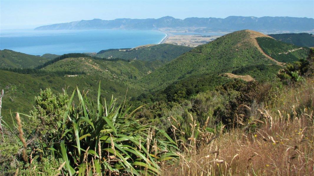
Start on the Pinnacles Ridge Track about 10 min from the campsite carpark, then continue an old bulldozed track around and above the Pinnacles rock formations to the main bush edge. From there, follow the main ridge between the Huripi and Putangirua streams, turn sharply to the right along the Mt Surf ridge to a gradual spur down into the Makotukutuku (Washpool) valley, before dropping steeply to Washpool Hut.
Washpool Hut to Pararaki Hut
Time: 2 hr 30 min - 3 hr 30 min
Distance: 4.7 km
The track starts 100 m upstream from Washpool Hut, on the opposite bank. It climbs steadily over a high dividing ridge into the next valley and Pararaki Hut.
Pararaki Hut to Kawakawa Hut
Time: 2–3 hr
Distance: 4.5 km
Find the track 100 m downstream and on the opposite bank from Pararaki Hut. It climbs steadily into a low saddle, then sidles down the true left of Murphys Creek to the true right fork of the Kawakawa (Otakaha) Stream. From there it's an easy walk to Kawakawa Hut at the major confluence.
Kawakawa Hut to Mangatoetoe Hut
Time: 2 hr 30 min - 3 hr 30 min
Distance: 6.2 km
Tthe track starts in front of Kawakawa Hut and follows up the true left fork of the Kawakawa Stream. After 1 hour in the stream bed, it climbs steeply at first through a saddle and down into the true right hand fork of the Mangatoetoe Stream. It meanders down stream to the hut.
Mangatoetoe Hut to road end
Time: 1 hr 30 min
Distance: 4.5 km
From the hut, follow an unmarked route down the true left of the Mangatoetoe Stream to Cape Palliser Road.
The track starts 45 km south of Martinborough, at Putangirua Pinnacles Campsite. Follow Lake Ferry Road for about 32 km, then turn onto Cape Palliser Road and follow this for a further 14 km to the campsite.
Stay safe in the outdoors
- Choose the right trip for you. Learn about the route and make sure you have the skills for it.
- Understand the weather. Check weather forecasts.
- Pack warm clothes and extra food. Check gear lists.
- Share your plans and take ways to get help. Leave your intentions with a trusted contact and take a distress beacon.
- Take care of yourself and each other.
Wairarapa information
| Phone: | +64 3 546 9339 |
| Email: | nelsonvc@doc.govt.nz |
| About: | Whakatū/Nelson Visitor Centre provides visitor information for this area |
