24 km return return via same track
This track crosses private land. Conditions can change rapidly – email the owners first to find out about any changes (barkernz@xtra.co.nz). Access is closed between 1 September – 10 October each year for lambing.
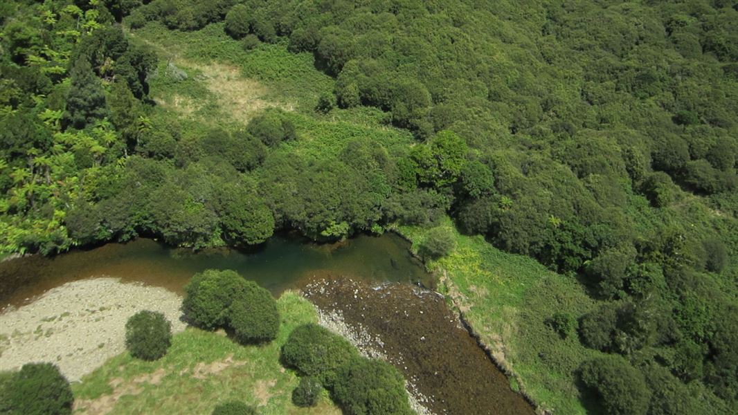
From Chris and Jan Barker's farm on Gribbon Road, this pleasant track follows the Awakino River upstream to Leitch's Hut.
Park at the cattle yards of this working farm (ensure your vehicle is parked clear of gateways). From there, follow markers through the farm to public conservation land. The track mainly follows the river north to the junction with the Waikawau Track. Cross to the east bank of the Awakino River and walk north for 5 minutes to the hut.
Gribbon Road is on the right, 22 km south of Piopio off SH3. Car parking and the start of the track is at the end of the road. Gribbon Road (10 km) has a gravel surface.
In winter and periods of heavy rain the river may be too deep to cross. Check the weather forecast before walking this track.
Keep to the tracks to prevent the spread of chytrid fungus that affects the endangered Archey's frog.
Maps: Use NZTopo50 BF31 (Marokopa ) and BF32 (Piopio)
Stay safe in the outdoors
- Choose the right trip for you. Learn about the route and make sure you have the skills for it.
- Understand the weather. Check weather forecasts.
- Pack warm clothes and extra food. Check gear lists.
- Share your plans and take ways to get help. Leave your intentions with a trusted contact and take a distress beacon.
- Take care of yourself and each other.
DOC Customer Service Centre
| Phone: | 0800 275 362 |
| Email: | tekuiti@doc.govt.nz |
| Address: | Te Kūiti Office |
