17 km return via same track
From the car park at the end of Leitch Road, follow the track into Whareorino forest. It's a former surveyed road and is well graded.
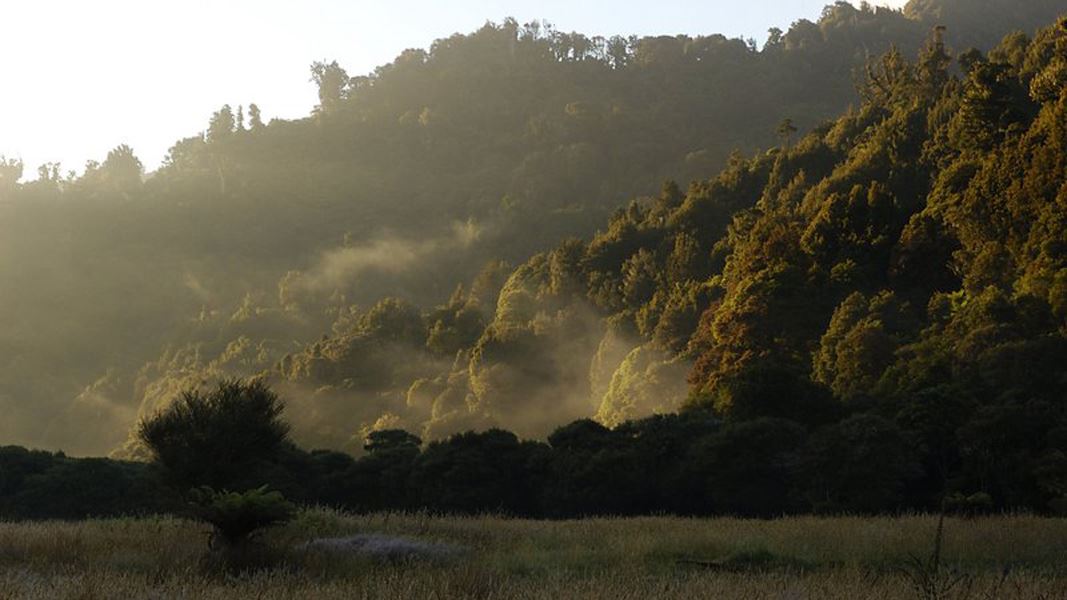
Starting at a farm gate, the track passes farmland as it climbs before entering bush. The track decends to Leitch's clearing – walk across the clearing to reach the hut.
There are no major streams to cross on this track.
From Piopio, turn west onto Mangaotaki Road then onto Leitch Road. The car park and entrance to the track is at the end of the road. Leitch Road (5.5km) has a gravel surface.
Keep to the tracks to prevent the spread of chytrid fungus that affects the endangered Archey's frog.
Illegal poisons were found around this track in 2020 and dog permits were suspended. There has been no evidence of poison since then, and dog permits are available. But visitors should remain vigilant and report any suspicious acticity to the local office.
Maps: Use NZTopo50 BF31 (Marokopa ) and BF32 (Piopio)
The hut and clearing at the headwaters of the Awakino River are the site of the former homestead of Sam Leitch, who lived in the area from 1902 to 1922. After taking part in a survey of the area, he was convinced the location would be important since it was at the junction of some proposed roads. Alas, the roads weren’t built and the area never quite became as significant as he thought, but there is now a lovely clearing and hut for trampers at the site of his former homestead.
Stay safe in the outdoors
- Choose the right trip for you. Learn about the route and make sure you have the skills for it.
- Understand the weather. Check weather forecasts.
- Pack warm clothes and extra food. Check gear lists.
- Share your plans and take ways to get help. Leave your intentions with a trusted contact and take a distress beacon.
- Take care of yourself and each other.
DOC Customer Service Centre
| Phone: | 0800 275 362 |
| Email: | tekuiti@doc.govt.nz |
| Address: | Te Kūiti Office |
