Image: Tamsen Walker | DOC
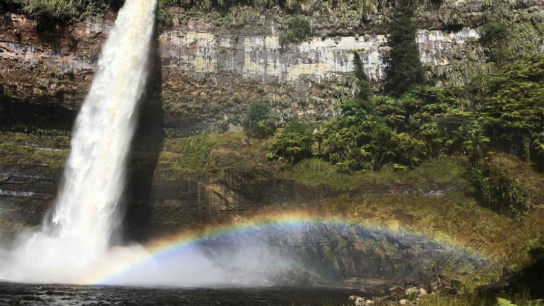
A large waterfall smashes into a small lake.
Waitaanga South Road to Te Rerepahupahu Falls Track

Located in Mount Damper and Waitaanga Conservation Area in the Taranaki region

Follow an historic logging tramline to Te Rerepahupahu Falls.

This track follows an historic logging tramline, firstly through regenerating kamahi, then silver beech and finally podocarp (totara, rata and kahikatea) forest in the Waitaanga Stream valley.

White poles mark the first part of the route over farmland to the bush edge.

In several places the track crosses the river, on swing bridges (cross one person at a time). The route goes through several grassy clearings and turns left up a ridge, then descends through virgin mixed podocarp forest to the valley floor.

Te Rerepahupahu Falls are 5 min upstream. There is a clearing beside the falls which can be used for camping. There are no other facilities.

From the falls, return to Waitaanga South Road via the same track. Or with prior transport arrangements, continue out on:

Heading from Ahititi to Ohura on Waitaanga Road, turn off at South Waitaanga Road.  A sign indicating the route is at the end of the road.

Private land

The 2.5 km farm track from the Waitaanga South Road to inside the Waitaanga Conservation Area is private land. Respect this and note that pest control programs are continually run on this property.

Dogs

Dogs are prohibited except where authorisation has been granted by DOC. People wishing to take a dog into this area need to get a permit from the local DOC office and have a current kiwi aversion certificate.

Avian awareness and avoidance training

To take dogs across private property, or tracks crossing farmland, you must get permission from the landowner.