Waikaia River Track
Located in Waikaia Forest Conservation Area in the Southland region
|
Introduction
This backcountry route is suitable for experienced trampers. It is partially closed due to track damage.7 km return via same track
Dog access
Dogs with a DOC permit only. Contact closest DOC office to get a permit. Other pets on conservation land rules.
This is a backcountry route and should only be attempted by suitably equipped, experienced walkers.
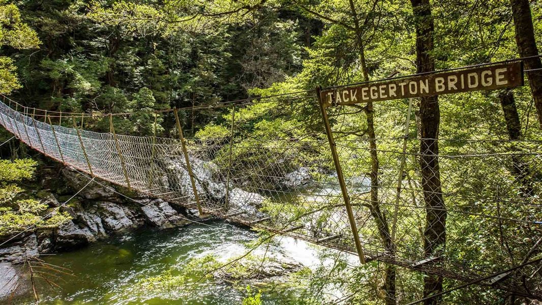
It follows up the true right of the river, crosses a swing bridge and returns along the opposite bank and along the road.
Due to extensive damage, the track is closed between Jack Edgerton Bridge and the Titans Rocks junction.
These sections are open:
- from Piano Flat swing bridge to the Titans Rocks, and
- from Post Office Creek to the Jack Edgerton Bridge.
Waikaia is situated 54 km north of Gore beside the Waikaia River.
Stay safe in the outdoors
- Choose the right trip for you. Learn about the route and make sure you have the skills for it.
- Understand the weather. Check weather forecasts.
- Pack warm clothes and extra food. Check gear lists.
- Share your plans and take ways to get help. Share directly or use the Outdoor Intentions form or Plan My Walk. Take a distress beacon.
- Take care of yourself and each other.
Contacts
DOC Customer Service Centre | |
---|---|
Phone | 0800 275 362 |
invercargill@doc.govt.nz | |
Address | DOC offices |