45 km return via same track
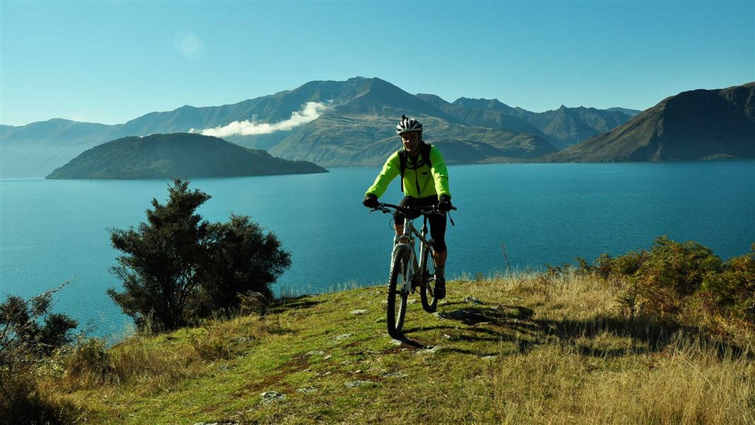
Starting from the carpark at Homestead Bay, the track follows Lake Wānaka to Minaret Burn.
From Homestead Bay, the walking track undulates gently above the Lake Wānaka shoreline until it meets a 4WD track. About 2 – 3 hours (7.5 km) from Homestead Bay a track leads off to the right to Colquhouns Beach, a pleasant place to swim and picnic.
After crossing Station Creek, you’re in the conservation area of the same name and now following the Minaret Burn tramping track. This incorporates remnant forest and shrublands and provides access to the lake foreshore.
On the main track, after about 10 minutes, it crosses the Rumbling Burn. Take care crossing this burn as it may be impassable during snowmelt or after heavy rain. By taking the track to cross the burn you’re in the Minaret Burn Mouth Conservation Area.
From here the track climbs steeply out of Rumbling Burn Valley before following a gentle terrace to the Minaret Burn. It is a relatively easy walk up the valley. The burn’s true left is on Minaret Station and permission is required for access. This track is suitable for walking, mountain biking and horse riding. There are no horse gates. Riders must get access details and a gate key from West Wānaka Station (+64 27 329 3315) for locked gates on public tracks.
Side trip
Rumbling Burn Track
Distance: 2.25 km one way from Minaret Burn junction
At the far north end of Colquhouns Beach, before the hill climb, the Rumbling Burn Track leads off to the left. This track gives access (foot only) to the Mount Alta Conservation Area. It's an easy uphill sidle. At the mouth of the Rumbling Burn you’ll find a delightful bush-clad beach.
The track starts at Homestead Bay, at the end of West Wanaka Road.
- The Minaret Burn Track is by private land. Respect the landowner’s livestock and property by ensuring that gates are left as found and, where they’re provided, that stiles are used.
- Providing hunters have a current hunting permit for lands administered by DOC, unloaded firearms may be carried on tracks. Under no circumstances are firearms to be discharged prior to entering permitted hunting areas.
- Minaret Hut is a private hut and permission must be obtained from West Wanaka Station before using it.
Safety
- Your safety is your responsibility. Stay safe in the outdoors and follow the five essential steps of the Land Safety Code.
- All trampers need to plan properly and be well equipped. This includes having appropriate maps. For this area the topographical map, topo50 CA12 Minaret Bay is recommended.
- In summer, very hot and dry conditions are common. Make sure you carry an adequate water supply and, as this is a typical Central Otago climate, have adequate protection against the sun.
- If venturing into the mountains, alpine conditions may be experienced at any time of year. Be prepared and ensure that you carry warm, windproof clothing and have the appropriate footwear. The higher country is under snow during the winter months.
Be avalanche alert
This area has terrain that can produce avalanches that cross the track, usually from May into November. View avalanche information and the terrain rating for this track.
Stay safe when crossing rivers
If you plan to cross unbridged rivers, know how to cross safely and be prepared for if you cannot cross.
Do not cross if the river is flooded, you cannot find safe entry and exit points or are unsure it’s safe. Turn back or wait for the river to drop. If in doubt, stay out.
Stay safe in the outdoors
- Choose the right trip for you. Learn about the route and make sure you have the skills for it.
- Understand the weather. Check weather forecasts.
- Pack warm clothes and extra food. Check gear lists.
- Share your plans and take ways to get help. Leave your intentions with a trusted contact and take a distress beacon.
- Take care of yourself and each other.
Wānaka Tititea/Mount Aspiring National Park
Visitor Centre
| Phone: | +64 3 443 7660 |
| Email: | wanakavc@doc.govt.nz |
| Address: | 1 Ballantyne Road Wānaka 9305 |
| Hours: | Visitor centre hours and services |
