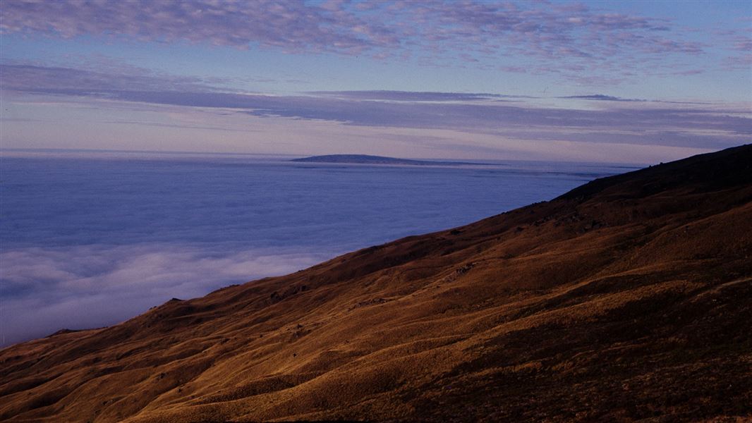
Stonehurst Track
Located in Rock and Pillar Conservation Area in the Otago region
|
Introduction
Go up and over the Rock and Pillar Range.13.5 km one way
Mountain biking
Advanced: Grade 4Seasonal restrictions
- Old Dunstan Road is closed 1 June – 30 September each year.
- Gladbrook Road is closed for lambing 1 September – 31 October each year.
Dog access
The Stonehurst Track goes up and over the Rock and Pillar Range to link Gladbrook Road near Middlemarch to Old Dunstan Road near Loganburn Dam.
The highest point of the track, at 1100 m above sea level, is located almost exactly midway but is quicker and easier to reach from Old Dunstan Road (800 m altitude) than from Gladbrook Road (250 m altitude).
This track can be accessed either from the southern end of Gladbrook Road near Middlemarch, or from a stile along the Old Dunstan Road near the north-eastern side of Loganburn Reservoir.
Weather: The Rock and Pillar Conservation Area is very exposed and subject to extreme temperatures – hot and dry in summer, freezing cold and covered in snow in winter.
Avalanches: Avalanche terrain is classified as 'simple' at the northern end of the Rock and Pillar Range and on the tops, and 'complex' on the eastern faces. If you plan to be in this area in winter or spring be avalanche alert.
Stay safe in the outdoors
- Choose the right trip for you. Learn about the route and make sure you have the skills for it.
- Understand the weather. Check weather forecasts.
- Pack warm clothes and extra food. Check gear lists.
- Share your plans and take ways to get help. Share directly or use the Outdoor Intentions form or Plan My Walk. Take a distress beacon.
- Take care of yourself and each other.
Contacts
Wānaka Tititea/Mount Aspiring National Park Visitor Centre |
|
---|---|
Phone | +64 3 443 7660 |
wanakavc@doc.govt.nz | |
Address | 1 Ballantyne Road Wānaka 9305 |
Hours | Visitor centre hours and services |