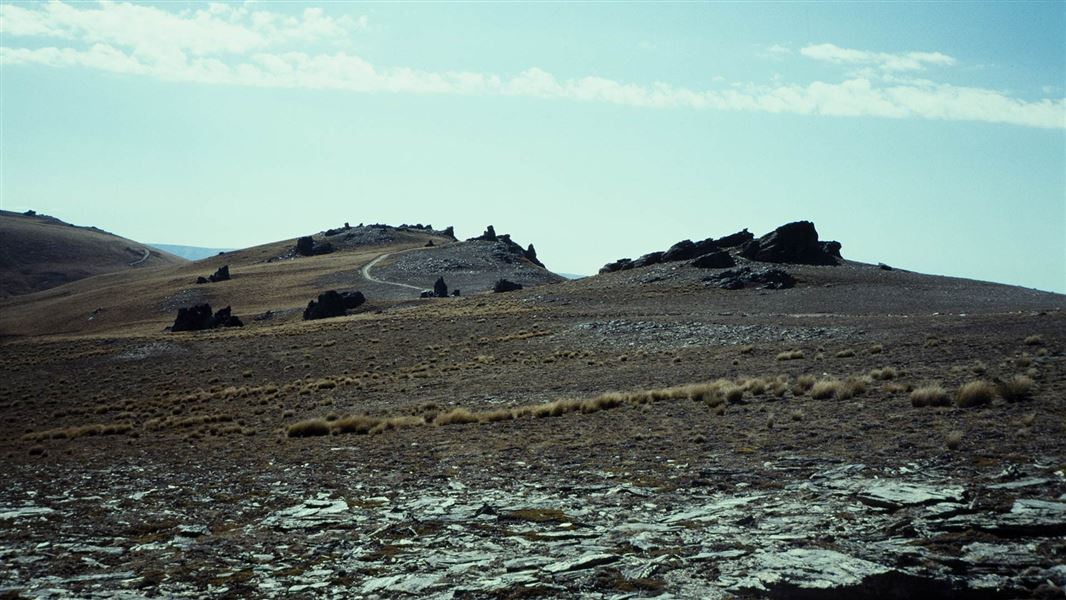
15 km one way
- Old Dunstan Road is closed 1 June – 30 September each year.
This track is suitable for 4WD vehicles, as well as horse riding and mountain biking.
From Old Dunstan Road, an initial climb leads up to McPhees Rock (2.5 km one way) before joining the main Rock and Pillar Range and following it north to Summit Rock, 1450 m above sea level.
From Summit Rock it is possible to join Kinvara Road (a further 10 km one way) to exit down the eastern side of the range to SH87.
Vehicles and mountain bikes must keep to the road to preserve the environment.
This 4WD track starts 300 m north of McPhees Creek ford on Old Dunstan Road.
Weather: The Rock and Pillar Conservation Area is very exposed and subject to extreme temperatures – hot and dry in summer, freezing cold and covered in snow in winter.
Avalanches: Avalanche terrain is classified as 'simple' at the northern end of the Rock and Pillar Range and on the tops, and 'complex' on the eastern faces. If you plan to be in this area in winter or spring be avalanche alert.
Stay safe in the outdoors
- Choose the right trip for you. Learn about the route and make sure you have the skills for it.
- Understand the weather. Check weather forecasts.
- Pack warm clothes and extra food. Check gear lists.
- Share your plans and take ways to get help. Leave your intentions with a trusted contact and take a distress beacon.
- Take care of yourself and each other.
DOC Customer Service Centre
| Phone: | 0800 275 362 |
| Email: | dunedinoffice@doc.govt.nz |
| Address: | Ōtepoti / Dunedin Office |
