Image gallery
The track can be completed in either direction. But it's easier when starting from the Skippers saddle/ Mt Dewar side.
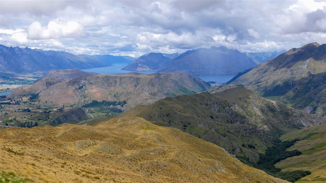
Devils Creek Track initially traverses tussock grassland with fantastic views of the Whakatipu Basin. Gentle at first and then more steeply, dropping into Devils Creek catchment.
Bypassing remnant stands of beech and grey shrubland before climbing out of the catchment past bluffs. Gaining a low saddle in the ridge before dropping down to the Coronet Peak Road access point. The track crosses a mixture of conservation and private land. Follow markers and signposted directions to exit at Coronet Peak road.
Skippers Road is 1 hour walk from Mt Dewar.
Mountain biking
It is steep up to Mt Dewar, then a descent to Devil's Creek. The climb out of Devil's Creek is steep and technical.
You can finish or start this track from Mt Dewar or from Coronet Peak Road.
To access the Devils Creek Track, park at the Skippers saddle in the areas provided near the Cattle grid. Start by crossing the wooden stile beside the locked gate and continue to gently climb for 1 hour along the access road to the summit of Mt Dewar.
A short distance beyond the Transmission towers a signposted junction is reached. This signifies the northern terminus of the Devils Creek Track where it starts.
Stay safe in the outdoors
- Choose the right trip for you. Learn about the route and make sure you have the skills for it.
- Understand the weather. Check weather forecasts.
- Pack warm clothes and extra food. Check gear lists.
- Share your plans and take ways to get help. Leave your intentions with a trusted contact and take a distress beacon.
- Take care of yourself and each other.
Whakatipu-wai-Māori/Queenstown Visitor Centre
| Phone: | +64 3 442 7935 |
| Email: | queenstownvc@doc.govt.nz |
| Address: |
50 Stanley Street |
| Hours: | Visitor centre hours and services |
