19 km return via same track
In winter this area is blanketed in snow, extremely cold, and exposed.
This track is closed for lambing between 15 October and 15 November.
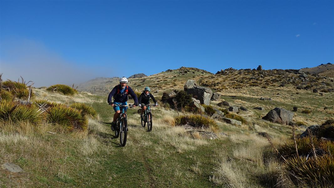
Omeo Gully Track is a steep track which initially goes through farmland and opens up into tussock lands, crossing small wetlands and as you get higher viewing the amazing rock tors.
The track starts off at 200 m and finishes at a height of 1377 m at the junction with the Obelisk Loop Track.
The walk initially goes through farmland and opens up into tussock lands, crossing small wetlands. As you get higher provides views of the amazing rock tors. Once you reach the conservation area boundary you will see the remains of a derelict historic hut.
- From Clyde cross the river and travel south along Earnscleugh Road for 7 km
- Turn right onto Blackman Road for 2.5 km then onto Fraser Dam Road
- Follow this unsealed gravel road for 1 km before turning left onto Omeo Gully Road
- Travel for 200 m to the Omeo Gully Road carpark where this track starts.
Weather and fog: Temperatures at this altitude can change suddenly even in mid-summer. Take warm and windproof clothing. Fog can roll in quickly – take a map and GPS to help with navigation during the fog.
Avalanches: Be avalanche aware as this area has ‘simple’ avalanche terrain.
Camping on the access easement or in the car park is not allowed. Firearms cannot be carried on the Omeo Gully track.
Leave what you find
Remember that all rocks, historic artefacts, native plants and animals are protected on public land. Tread carefully and take only photographs.
Stay safe in the outdoors
- Choose the right trip for you. Learn about the route and make sure you have the skills for it.
- Understand the weather. Check weather forecasts.
- Pack warm clothes and extra food. Check gear lists.
- Share your plans and take ways to get help. Share directly or use the Outdoor Intentions form or Plan My Walk. Take a distress beacon.
- Take care of yourself and each other.
Wānaka Tititea/Mount Aspiring National Park
Visitor Centre
| Phone: | +64 3 443 7660 |
| Email: | wanakavc@doc.govt.nz |
| Address: | 1 Ballantyne Road Wānaka 9305 |
| Hours: | Visitor centre hours and services |
