This route is only suitable for experienced alpine trampers. It should only be attemped in good conditions – even then extreme care is required.
Significant hazards exist all year round on this route and on some sections people choose to use mountaineering techniques. Don't hesitate to turn back if conditions are unfavourable, you have doubts about your ability or you are concerned for your safety.
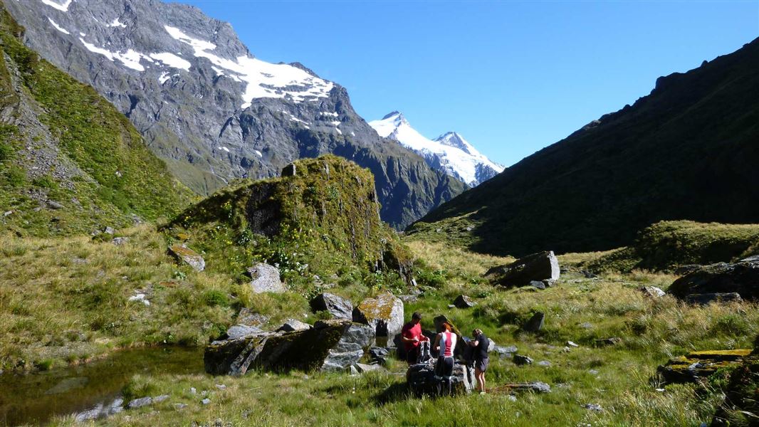
Top Forks Hut to Ruth Flat
Time: 8 - 10 hr
Follow the track behind the hut and climb, before sidling around above the gorge to the open flats of the south branch. A major slip in the gorge can be difficult to negotiate - take extreme care crossing this section. Follow the flats until you reach the waterfall face 3 to 4 hours from the hut.
Waterfall Face is very steep and exposed, with significant fall hazard; snow grass is slippery even when dry. It is extremely dangerous when wet, windy or under snow and should not be attempted if any of these conditions exist. Take care, hazards exist on this route in all conditions.
The route starts on the western side of the face, well to the right of the falls. Go up a snow grass fan to the ledges above and to the right. Do this until you reach a narrow sloping ledge and follow it back across to the left to reach the ridge about 150 m above the waterfall. Follow the valley through the alpine herb fields for about an hour, to reach Rabbit Pass (1430 metres), to follow the obvious shelf east, and climb towards Mt Lois for about 30 minutes until a narrow rock slide leading down through the bluffs. The first 30 m of this slide is steep, and dangerous, especially if wet. Beware of falling rock until well clear of the slide and follow the snow grass slopes to the valley floor.
It’s an easy 1 to 2 hours to Ruth Flat.
Ruth Flat to Cameron Flat
Time: 7 - 9 hr
The track down Bledisloe Gorge starts on the true left, at the bottom of the bush spur, about 20 minutes from Ruth Flat. It climbs to the bushline, sidles through snow grass, and re-enters the bush just before Hester Pinney Creek. Here it descends to the river and Junction Flat, 4 - 5 hours from Ruth Flat. Cross the two 3-wire bridges to the track on the true right bank of the East Matukituki River down to the Glacier Burn (2 hours). From here follow the flats to the West Matukituki River, ford the river to Cameron Flat or, if the river is too high to cross safely, use the bridge an hour upstream.