12 km one way
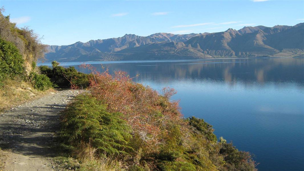
From the carpark follow the 4WD road, on foot or bicycle, above the lake to Rocky Point around the bluffs. On clear days Mount Aspiring/Tititea can be seen from here. After about an hour and a half the road reaches Silver Island Bay. Here the public track leaves the road and crosses the Silver Burn. It then climbs and sidles around the peninsula's western side for spectacular views into the Hunter valley.
The Turihuka Conservation Area is at the mouth of the Dingle Burn and 5 km on from the Silver Burn. It is a basic camping site with a toilet.
The Hunter River Valley Track and Dingle Burn Track are signposted from here.
Mountain biking
Biking on the formed track is permitted from the carpark to Turihuka Conservation Area and beyond to the Hunter Valley. The Dingle Burn Track is walking access only.
From Lake Hāwea Township follow the unsealed Dingleburn Station Road to the public carpark. No vehicle access is permitted beyond this point.
Track closures for stock movement
The Dingle Burn Peninsula Track will sometimes be closed for up to five hours while stock is moved along the track. This is because the track goes through a working farm. Closure signs will be at either end of the Dingle Burn Peninsula Track, do not continue past the signs.
The track is narrow with high bluffs and drop-offs. There's no room for you to get past stock without:
- a high risk of causing serious injury
- loss of life to yourself
- loss of life to the stock, and
- loss of life or injury to people moving the stock.
Stay safe in the outdoors
- Choose the right trip for you. Learn about the route and make sure you have the skills for it.
- Understand the weather. Check weather forecasts.
- Pack warm clothes and extra food. Check gear lists.
- Share your plans and take ways to get help. Share directly or use the Outdoor Intentions form or Plan My Walk. Take a distress beacon.
- Take care of yourself and each other.
Wānaka Tititea/Mount Aspiring National Park
Visitor Centre
| Phone: | +64 3 443 7660 |
| Email: | wanakavc@doc.govt.nz |
| Address: | 1 Ballantyne Road Wānaka 9305 |
| Hours: | Visitor centre hours and services |
