Old Coach Road
Time: 40 min return
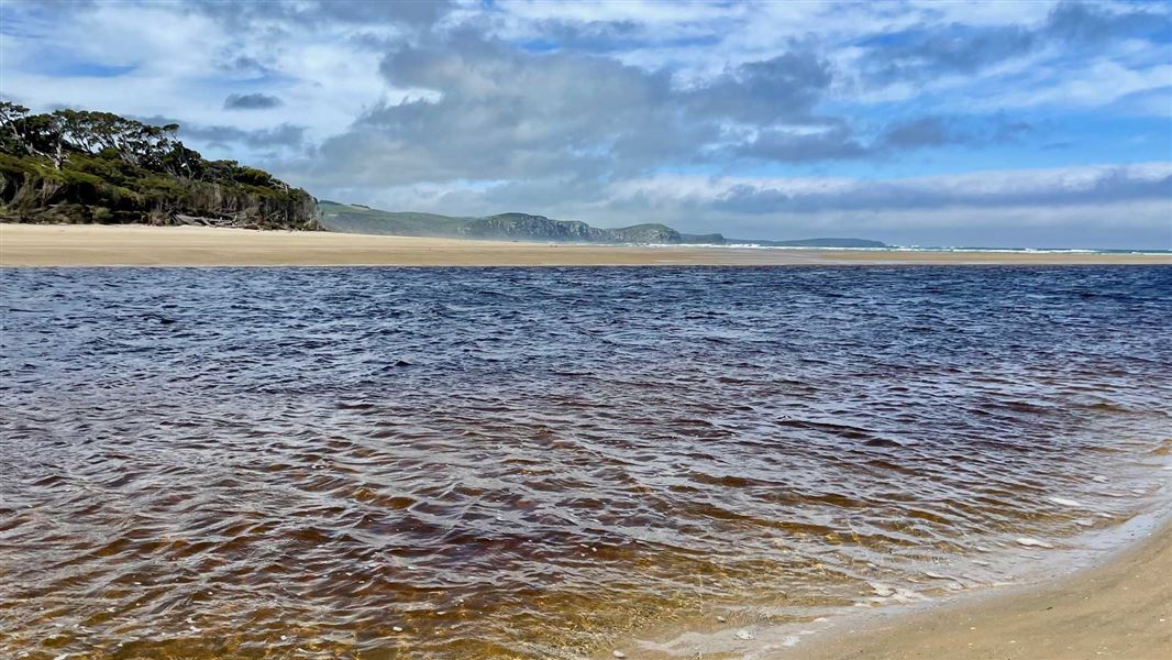
The track follows the original route that horse-drawn coaches took after coming off the beach in Tahakopa Bay. After the track's start, when it forks, go right. It's flat going, alongside the tidal river and a very pleasant walk for all ages and abilities. In parts the original coach road formation can be seen as it passes beneath a canopy of tree fern, silver beech and young totara. Near the track's end, where there's a host of regenerating totara is an important moa hunter archaeological site.
The track ends when it reaches the beach, which can be walked along for some distance to link with a more arduous and often muddy route known as Old Possumers Track. This is a three-hour loop. The start/finish is the left fork off the Old Coach Road.
Getting there: The carpark is near the northern end of the bridge over the Tahakopa River, just north of Papatowai.
Papatowai walks
Time: 40 min – 1 hr return
There are several interconnecting tracks that begin from the beach beyond the picnic area and on the way to it, off Cross Street. The Picnic Point Track traverses the Papatowai Scenic Reserve, suits all ages and has plenty of variety. After reaching the coast at picnic point the return is via the beach. There is an extension of the track to Kings Rock – 20 minutes each way from the junction. Most of this is over private land.
Getting there: In Papatowai, turn off the Papatowai Highway in onto Alexandra Road, then into Cross Road.
These tracks start tracks in or near Papatowai, 25 km south of Owaka.
DOC Customer Service Centre
| Phone: | 0800 275 362 |
| Email: | invercargill@doc.govt.nz |
| Address: | Murihiku / Invercargill Office |
