24.5 km one way one way
No exit via Long Gully Loop Track to Bannockburn from 1 October to 30 November due to lambing.
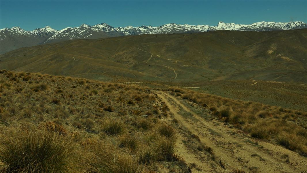
This well-defined farm road starts at the top of the Young Australian Historic Reserve at the high altitude of 1250 m.
It offers great views of the Cromwell basin, Lake Dunstan and the Clutha/Mata-Au valley. The vegetation is predominantly short tussock and farm pasture grasses, with shrublands further down the range.
The track passes through Potters Creek Conservation Area and provides access to Slapjack Saddle and Long Gully/Mt Difficulty Conservation Areas. It continues on to Felton Road car park via Long Gully Loop Track and Bannockburn Sluicings Track.
Side trip: 1220 Track
Time: 1 hr – 1 hr 30 min return from Slapjack Saddle Track
Distance: 3 km return from Slapjack Saddle Track
There are great views of the Hector Mountains and the Nevis Valley from the track as it climbs to 1220 m altitude (for which it's named). It also provides access to Potters Creek Conservation Area.
Side trip: Slapjack Creek Track
Time: 1 hr – 1 hr 30 min return from Slapjack Saddle Track
Distance: 2 km return from Slapjack Saddle Track
This is a short tramping track that branches off Slapjack Saddle Track at Slapjack Saddle to descend 100 m altitude to the boundary of Slapjack Creek/Mt Difficulty Conservation Area. It provides good views down to the Kawarau Gorge and access to the conservation area. Return is uphill on the same track back to Slapjack Saddle Track.
From Nevis Road, near Duffers Saddle, turn onto the Young Australian Historic Reserve 4WD road. Follow this for 4.5 km to a junction in the road and the start of the Slapjack Saddle Track.
The Long Gully Loop Track is closed for lambing from 1 October to 30 November. So if you are doing the Slapjack Saddle Track you will need to return via the Young Australian Historic Reserve Road.
Most of the tracks in this area cross private property - stay on the tracks and roads and leave gates as you find them.
This is a very dry area with no water on the tracks - take water with you.
There are no designated campsites or huts in this area - do not camp on private land.
Remember that all rocks, historic artefacts (including earth and stone works), native plants and animals are protected on public land - tread carefully and take only photos.
DOC Customer Service Centre
| Phone: | 0800 275 362 |
| Email: | alexandra@doc.govt.nz |
| Address: | Kā Moana Haehae / Alexandra Office |
