30 km | 33 km | 38 km one way
No exit or entry via Long Gully Loop Track from 1 October to 30 November due to lambing.
The Mt Difficulty Track (16 km, 4 hr) branches off the Slapjack Saddle Track. It's a steep track that follows a mostly rough grassy 4WD track. Good route finding and map reading is required.
Loop option
Distance: 33 km
From Felton Road car park, follow Bannockburn Sluicings Track, Long Gully Loop Track, up Slapjack Saddle Track to Slapjack Saddle. From the saddle, follow Mt Difficulty Track clockwise and return to Felton Road car park.
Note, this option isn't possible from 1 October to 30 November when the Long Gully Loop Track is closed for lambing.
One-way option
Distance: 30 km
From Young Australian Historic Reserve Road, follow Slapjack Saddle Track to the Slapjack Saddle. From the saddle, follow Mt Difficulty Track until it rejoins the Slapjack Saddle Track. Continue on to the Felton Road car park on the Long Gully Loop Track and Bannockburn Sluicings Track.
Note, this option isn't possible from 1 October to 30 November when the Long Gully Loop Track is closed for lambing.
Return option
Distance: 38 km
From Young Australian Historic Reserve Road, follow Slapjack Saddle Track to the Slapjack Saddle. From the saddle, follow Mt Difficulty Track to Mt Difficulty. Return via the same track.
Note, this is the only option when the Long Gully Loop Track is closed for lambing from 1 October to 30 November.
Mountain biking
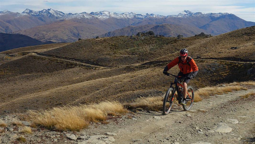
It's recommended to ride clockwise from Slapjack Saddle.
The loop option starts from Felton Road, 8 km south-west of Cromwell.
The one-way and return options start from Young Australian Historic Reserve Road, off Nevis Road, about 60 km from Garston.
Most of the tracks in this area cross private property - stay on the tracks and roads and leave gates as you find them.
This is a very dry area with no water on the tracks - take water with you.
There are no designated campsites or huts in this area - do not camp on private land.
Remember that all rocks, historic artefacts (including earth and stone works), native plants and animals are protected on public land - tread carefully and take only photos.
Stay safe in the outdoors
- Choose the right trip for you. Learn about the route and make sure you have the skills for it.
- Understand the weather. Check weather forecasts.
- Pack warm clothes and extra food. Check gear lists.
- Share your plans and take ways to get help. Leave your intentions with a trusted contact and take a distress beacon.
- Take care of yourself and each other.
DOC Customer Service Centre
| Phone: | 0800 275 362 |
| Email: | alexandra@doc.govt.nz |
| Address: | Kā Moana Haehae / Alexandra Office |
