Department of Conservation | Te Papa Atawhai
https://www.doc.govt.nz/
https://www.doc.govt.nz/
Located in Arrowtown area and Macetown Historic Reserve and Wānaka area in the Otago region
Introduction
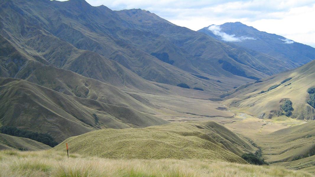
The Motatapu Track follows much of an historic route that linked the Wānaka and Arrowtown areas. It's a demanding alpine tramp for experienced parties. This track is part of Te Araroa Trail.Stay safe in the outdoors
- Choose the right trip for you. Learn about the route and make sure you have the skills for it.
- Understand the weather. Check weather forecasts.
- Pack warm clothes and extra food. Check gear lists.
- Share your plans and take ways to get help. Share directly or use the Outdoor Intentions form or Plan My Walk. Take a distress beacon.
- Take care of yourself and each other.