2.5 km to reserve boundary, 4.5 km to Raumanga
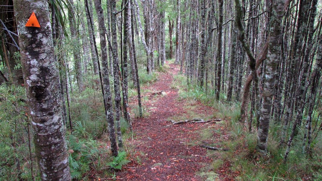
The Otaika Valley walkway offers you a variety of landscapes, from dense and regenerating forest, through farmland, and on to city streets.
It is recommended that you start this walk from the sign-posted car park on Otaika Valley Road.
The track rises up steeply from the Otaika Valley stream. Once on the ridge, there are good viewing areas offering expansive views of Maungatapere and northwest Northland. There is also a seat along the ridgeline (264 metres above sea level) that gives fantastic rural views of Otaika Valley.
The track drops off the ridgeline and crosses over several small streams. Vegetation in this area is mostly regenrating kauri, tanekaha, and totara.
The reserve finishes at the kissing gate. Here you can return the way you came or continue on across open pasture, following the orange posts, until you reach Raumanga Heights Drive.
10,000 Steps Northland: This track equates to approximately 7,998 steps.
A good alternative is to walk from Otaika Valley to the northern boundary of the scenic reserve and then return to the car park. The distance by road from the start of the track to the end is 4.8 km. You can walk back via the road or use two cars.
Otaika Valley Road runs between Loop Road, off SH1, 10 minutes south of Whangārei, and Maungatapere.
Once on Otaika Valley Road, look out for the sign indicating the track entrance. There is parking on the opposite side of the road.
- The farmland is grazed and there is ongoing development in the area - leave gates as you find them and remain on the marked route.
- The track can be slippery when wet.
- Wasps and wasp nests may be present in this area.
Stay safe in the outdoors
- Choose the right trip for you. Learn about the route and make sure you have the skills for it.
- Understand the weather. Check weather forecasts.
- Pack warm clothes and extra food. Check gear lists.
- Share your plans and take ways to get help. Share directly or use the Outdoor Intentions form or Plan My Walk. Take a distress beacon.
- Take care of yourself and each other.
Stop kauri disease and protect kauri
- Scrub all soil off shoes and gear.
- Use cleaning stations.
- Always stay on the track.
DOC Customer Service Centre
| Phone: | 0800 275 362 |
| Email: | whangarei@doc.govt.nz |
| Address: | Whangārei Office |
