6 km one way
After about 30 minutes, a 2 km, 40 minute side track leads from Cape Reinga Road to Kauri Bush, a remnant of kauri forest that once covered the Far North. The detour will take you about 1 hour 30 minutes return.
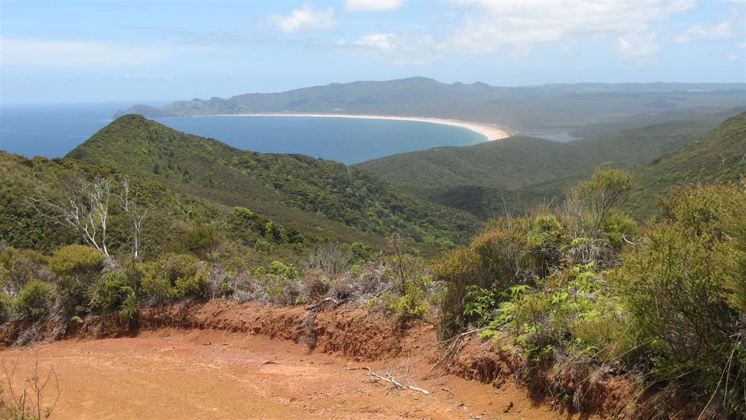
Another side track, a further 1 km up the road to the right, leads up to Te Paki trig – the highest point in the area. On your way to the summit you can get great views to Spirits Bay/Kapowairua and on a clear day you can see North Cape.
A further 5 minutes along the track you reach the junction with Darkies Ridge. From here you can walk to Pandora or carry on to Tapotupotu Bay.
Mountain biking
The 4WD standard road to Pandora is suitable for walking and mountain biking.
Pandora Track is in Te Paki Recreation Reserve. Te Paki is located in the Far North of the North Island, New Zealand, approximately 96 km north of Kaitaia. Just follow State Highway 1 north.
From Te Paki onwards, follow Cape Reinga Road, which gets very busy over the summer months. Drive slowly and take extra caution. As you near Cape Reinga/Te Rerenga Wairua, a car park and signage is located on the right-hand side of the road.
You can also access Pandora Track by foot via the Te Paki Coastal Track.
There are lots of mosquitos.
Stop kauri disease and protect kauri
- Scrub all soil off shoes and gear.
- Use cleaning stations.
- Always stay on the track.
DOC Customer Service Centre
| Phone: | 0800 275 362 |
| Email: | kaitaia@doc.govt.nz |
| Address: | Te Hiku / Kaitaia Office |
