Introduction
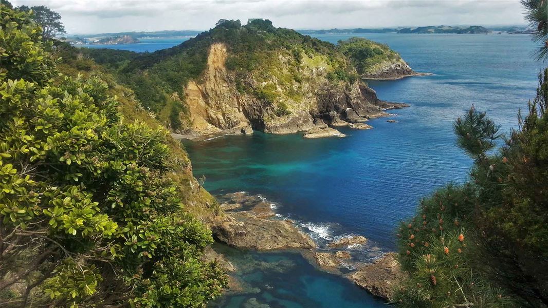
Nestled in the calm Bay of Islands, Motuarohia Island Recreation Reserve has significant national history, a range of recreation activities, and stunning views of the surrounding coasts.Motuarohia Island was heavily settled by early Māori, who thrived on rich fisheries and built complex inland gardens.
Drawing European navigators to its sandy shores, the island was a place of early settlement and first encounters.
Image gallery
Motuarohia Island has several archaeological sites, including defensive pā, terraces, pits, and gardening lines around the central lagoon area. Its many coves have welcomed both Māori and European navigators, and its unique shingle beach connects the two hills of the island.
Following the Motuarohia (Roberton) Island Track takes visitors up to the top of the island for 360-degree views of the coastline and nearby islands.
Getting there
Motuarohia Island is only accessible by boat, 4 km northeast of Russell. As it is in the eastern part of Te Pēwhairangi (Bay of Islands) Marine Mammal Sanctuary, there are restrictions visitors need to follow.
A centre of activity
Māori lived on Motuarohia since early Polynesian settlement, building complex gardens and fortifications. On 29 November 1769, Captain Cook landed on Motuarohia in Cook’s Cove, naming the entire region the ‘Bay of Islands’. French explorer Marion du Fresne visited the island three years later to extract shingle for the ballasts of his two ships.
Family legacy
In 1839, Motuarohia was renamed Roberton Island after John Roberton. Roberton was a former whaling ship captain who purchased the island from Ngāpuhi chiefs Warearahi, Moko and Rewa. A year later, Roberton died in a boating accident, and his wife Elizabeth took over the running of the island.
Establishing a reserve
Over the rest of the 19th century, the island passed through many hands. By the 1950s a private scenic reserve and wildlife refuge had been established on the site. Motuarohia was taken under government care in 1979 and has been a Bay of Islands tourist destination ever since.