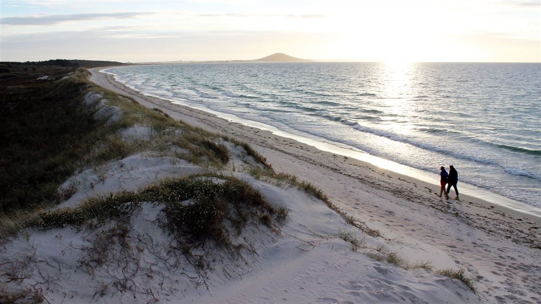
Karikari Peninsula is about 44 km northeast of Kaitaia.
From Kaitaia, head north on SH1 until you reach Awanui, then turn right onto SH10. Continue on SH10 for 14.6 km, then turn left onto Inland Road for Lake Ohia and Maitai Bay.
Whatuwhiwhi is the major settlement along the Karikari Peninsula with a dive centre, school, backpackers, cafe, takeaways and general store/petrol station.
Vehicle restricted areas on beaches
Rules for vehicle access on beaches has changed in several place around Northland/ Te Tai Tokerau. This means you can no longer drive on the beach in some places in this area. See Northland Regional Council’s website for more information and a map of where vehicles are not allowed.
Karikari Peninsula is a distinctively shaped land mass on the east side of the Aupouri Peninsula, separating Rangaunu Harbour from Doubtless Bay. The rocky outer part of Karikari was formerly an island. Today it is part of the mainland, connected by the formation of Tokerau beach, located on the east side of the peninsula.
Bird life at Maitai Bay includes the variable oystercatcher and the New Zealand dotterel. If you see them or their nests, give them space and let other visitors know, so the birds are not disturbed.
Behind Karikari Beach, northeast of Rangaunu Harbour, is an extensive area of sand dunes wherein lies a significant wetland area, Waimango Swamp. Waimango Swamp and Karikari Bay encompass 220 ha of beach, dunes, semi-drained lagoons and large freshwater swamps.
This wonderful wetland area supports breeding populations of Australasian bittern/matuku-hūrepo, banded rail and the North Island fernbird, plus Karikari Beach is home to the endangered New Zealand dotterel, Caspian terns, marsh crakes, a shag colony and the rare native freshwater fish the black mudfish. The wetlands are also feeding areas for several species of migratory shorebirds from the Arctic.
The Karikari Peninsula was a favoured area for seasonal hunting and gathering activities by pre-European Māori. Numerous midden are located in the adjacent fore dunes, showing a heavy reliance on marine resources for a long period of time with a focus on seasonal camping.
At Lake Ohia, the former lake bed offers snapshots of the recent past and ancient history showing visible effects of gum-digging and featuring ancient remains of a once thriving kauri forest.
Karikari is the traditional homeland for the Ngati Kahu tribe. In Maori mythology, the waka (canoe) Waipapa, captained by Kaiwhetu and Wairere, made its first landing in New Zealand at Karikari.
Check, Clean, Dry
Clean all gear when moving between waterways to prevent the spread of didymo and other freshwater pests.
Stop kauri disease and protect kauri
- Scrub all soil off shoes and gear.
- Use cleaning stations.
- Always stay on the track.
DOC Customer Service Centre
Phone: | 0800 275 362 |
Email: | kaitaia@doc.govt.nz |
Address: | Te Hiku / Kaitaia Office |