4.6 km return via same track
The track initially follows parallel to the creek within pine forest. On entering the native forest, the track continues beside the creek until turning right to cross the left branch of Johnson Creek.
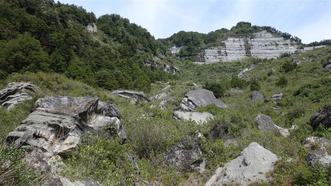
The track then gradually climbs and emerges from the forest at the toe of the big slip. This slip was formed in the 1929 Murchison earthquake and is the feature piece of the walk. You'll get excellent views of the mudstone cliffs that were formed.
The track ends in the lower section of the slip amongst the struggling vegetation, giving a good idea of the magnitude of the shake. The exposed cliffs at the top of the slip are unstable and the whole slip area is a fragile environment for biodiversity and recent geological history.
The track starts 7 km west of Murchison, 6 km down Matakitaki West Bank Road (gravel). A sign and small parking area are on your left with the start of the track on your right.
Wasps can be a nuisance, particularly from December until April. Carry antihistamine if you are allergic to their stings.
Sandflies: The presence of biting sandflies can detract from your experience in Murchison, especially during the summer months. The problem can be easily remedied by coating exposed skin with a good quality insect repellent.
Robins, tuī, tomtits, grey warblers and bellbirds are commonly heard and seen, with kākā, kākāriki, shining cuckoo and long-tailed cuckoo heard at times.
Nelson Lakes National Park Visitor Centre
| Phone: | +64 3 521 1806 |
| Email: | nelsonlakesvc@doc.govt.nz |
| Address: | View Road St Arnaud 7072 |
| Hours: | Visitor centre hours and services |
Whakatū/Nelson Visitor Centre
| Phone: | +64 3 546 9339 |
| Email: | nelsonvc@doc.govt.nz |
| Address: | Millers Acre/Taha o te Awa 1/37 Halifax Street Nelson 7010 |
| Hours: | Visitor centre hours and services |
