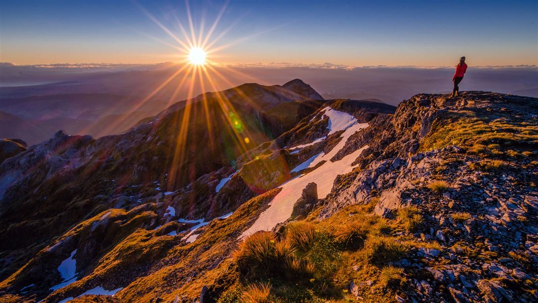
Image: Crystal Brindle | ©
Mount Arthur, Kahurangi National Park.
Mount Arthur Summit Route

Located in Kahurangi National Park and Mount Arthur area in the Nelson/Tasman region

Climb to the top of Mt Arthur (1795 m) for panoramic views.

The access road into the Mount Arthur area (Graham Valley Road) is steep and narrow and prone to corrugations and slips – check any alerts for road status. During the winter months a 4WD vehicle is recommended to access Flora carpark. Chains may be needed if snow and ice are present

Flora car park to Mt Arthur Hut

Time: 1 hr 30 min
Distance: 4.2 km

Follow the Mt Arthur Hut Track from Flora car park to Mt Arthur Hut.

Mt Arthur Hut to Mt Arthur

Time: 2 - 3 hr
Distance: 5 km

From Mt Arthur Hut, a marked route follows the Wharepapa/Arthur Range and offers panoramic views and a good look at the rock formations that make this mountain special.

Aside from a small patch of bush above the hut, the summit route is an exposed, alpine environment the entire way. Extreme weather (including high wind, low visibility, freezing temperatures and rain/snow) is common, so this trip is best done in good weather.

The route climbs from Mt Arthur Hut onto a ridge, with marker poles showing the way. The route undulates then climbs more steeply above the side of Horseshoe Basin. Around halfway to the summit, you will reach a junction – a route from here leads across Horseshoe Basin and Pyramid Ridge, towards Gordons Pyramid and the Tablelands.

Continue on the Mt Arthur Summit Route. The route drops to a saddle, then climbs steeply towards Winter Peak (1750m). Just below Winter Peak you will come to another track junction – from here, the Ellis Basin Route drops down to Ellis Hut.

The Mt Arthur Summit Route skirts around the back of Winter Peak, then climbs steeply to the Mt Arthur Summit – expect to be scrambling up rocky terrain.

The Mt Arthur Summit is spacious and has spectacular views.

Flora car park is 75 km from Nelson and 36 km from Motueka.

The Motueka Valley Highway links Nelson and Motueka. Turn off this road at Ngātīmoti and cross the Motueka River. Turn left onto Motueka River West Bank Road, then right into Graham Valley Road, which climbs steeply to the car park. The last 5.8 km is unsealed and turning a vehicle on the road can be difficult. 4WD is recommended at all times of the year.

Expect extreme weather, check the forecast and pack well

This is an alpine environment and it is common to get very high wind, low visibility, strong rain/snow and cold temperatures.

Check the forecast before you go: Mt Arthur weather forecast - NIWA website

Regardless of the forecast, pack plenty of warm clothes and a waterproof raincoat.

Carry lots of drinking water

There are no water sources after Mt Arthur Hut and no shelter from the sun along the track. Carry lots of drinking water, we recommend 2-3L per person.

Care needed

This is tricky terrain with drop-offs, caves and sinkholes – take care and stay on the track

Mt Arthur is a karst landscape. Care is required around the many bluffs, sinkholes and caves. We recommend staying on the track. If you do plan to go off track, be very careful as it can be hard to spot sinkholes and caves.

Wear sturdy footwear, as you will be walking over some sections of scree, scrambling up rocks and passing steep drop-offs.

You need mountaineering skills and equipment in winter

There will likely be snow on the route in winter. We recommend that people only attempt this route in winter if they have mountain experience, snowcraft skills and equipment.

Be aware that there can be small avalanches below the Mt Arthur Summit.