Image: DOC
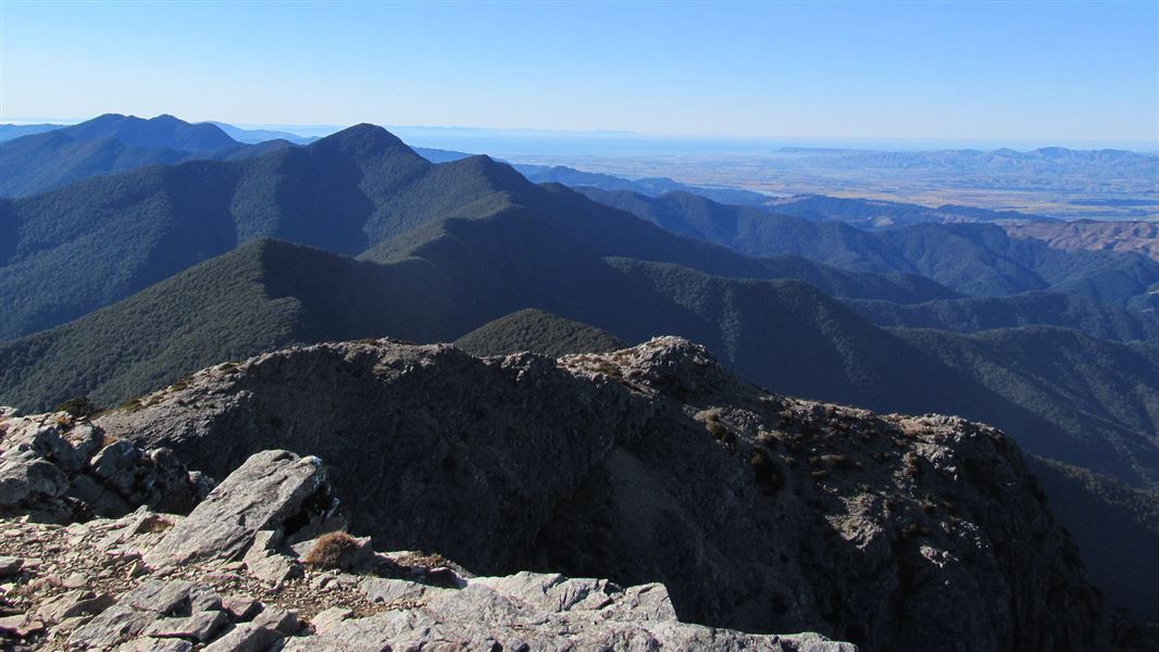
View from Mount Royal.
Quartz Creek/Mount Royal Route

Located in Mount Richmond Forest Park in the Marlborough region

Climb up to the summit of Mount Royal (1366 m).

The route follows Quartz Creek and passes the Sutherland Mine battery site. It follows a 4WD track to the forest where it begins climbing, steeply in places, to the bushline just below Mount Royal summit (1366 m).

There are no markers above the bushline. From the bushline on the northern side another marked route descends to Devils Creek Hut (4.6 km).

Note: there is no water on the way up to Mt Royal.

5 km north of Renwick, just over the Wairau River bridge, turn off SH6 onto North Bank Road. Follow this for 20km then turn into Fabians Valley Road, then into Bartletts Road. Follow Barletts Road for 5 km to Quartz Creek Flat where the track starts.

Extensive damage from flooding in 2009 means the first 3.7km of the route is a mixture of old 4WD road or in the creek bed. Orange markers mark the crossing points. You will get your feet wet in this section and may want to use sneakers until you reach the "Mt Royal Summit-3 hrs" sign. Here is a good point to put on dry socks and boots.

From this point the track climbs steeply through beech forest to about 1100m. The track then turns towards Mt Royal and continues along the saddle through mature beech. As you near the bushline at about 1260m there is a clearing suitable for camping.

From this point on, it is a final short scramble up through alpine scree and onto the top.

Turn back the way you came, or continue on to the Wakamarina Road end.

Make sure you have enough experience for your trip. Always fill in hut books and ensure someone knows your intentions.

Hazards

  • Snow, wind and fog are hazards of the open tops – you will need the skill to tramp in these conditions. Check the Mount Richmond weather forecast to prepare (external site).
  • Water should be carried in dry conditions – there is a river/creek at the bottom but this water becomes scarce further up, especially in summer.
  • Water in the park may not be safe to drink. If you doubt the safety of any water source, you should boil, filter or chemically treat it.
  • Bad weather can occur at any time - be prepared with warm, waterproof clothing and extra food.
  • Wasps are common from December until April. Carry antihistamine if you are allergic to their stings.

Rivers and streams

In normal flows unbridged streams and rivers can be crossed. However, in flood they can become impassable and you will need to be prepared to wait until flood waters recede.

Stay safe when crossing rivers

If you plan to cross unbridged rivers, know how to cross safely and be prepared for if you cannot cross.

Do not cross if the river is flooded, you cannot find safe entry and exit points or are unsure it’s safe. Turn back or wait for the river to drop. If in doubt, stay out.

How to cross rivers safely