Check road conditions
Recent severe weather has damaged many roads in the Marlborough Sounds. Before you travel to our facilities, check the latest road updates on the Marlborough District Council website.
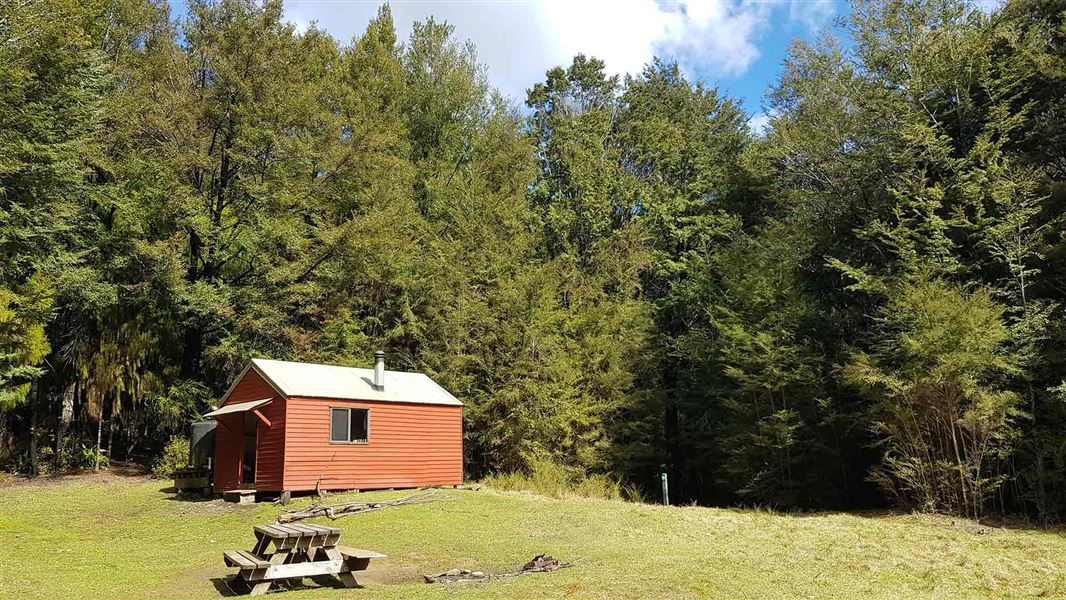
The hut sits in a large clearing above the Wakamarina River.
Facilities
- Heating - wood burner
- Space for camping outside the hut
- Long drop toilet a short walk from the hut
Fees
- Adult (18+ years): $10 per night
- Youth (5–17 years): $5 per night
- Child/Infant (0–4 years): free
Before you go, buy 1 Standard Hut Ticket (blue for adults, yellow for youth) for each night's stay. Put this in the honesty box at the hut. Or buy a Backcountry Hut Pass that gives unlimited use at most Standard and Serviced huts for a 12 month period.
About hut tickets and passes | Retailers that sell hut tickets and passes
Nearest road end to Devil's Creek Hut
Wakamarina Road: 2 hr
10 km west of Havelock, turn off SH6 onto Wakamarina Road. Follow this for 7.5 km to Butchers Flat Campsite at the road end and the start of the track.
The section of track from Butchers Flat carpark is no longer accessible to 4WD vehicles. Track users must park at the carpark and either walk or cycle to the track start.
Fosters Hut to Devil's Creek Hut
Fosters Hut: 3 hr (8.5 km)
Below Foster’s Clearing the track from Fosters Hut descends into the head of Foster Creek, skirting around its headwaters and crossing a series of slaty schist creeks. It then climbs, in a series of steep zigzags, toa saddle between Foster and Devil’s Creeks. From the saddle, the track climbs to a knob (1066 m), then descends, in a series of broad zigzags, to the benched track of the main Wakamarina Valley.
Tracks to this hut
-
Duration: 7 hrs (south to north) Difficulty: Advanced -
Duration: 8 hr return Difficulty: Expert
Location
NZTopo50 map sheet: BQ27
Grid/NZTM2000 coordinates: E1648197, N5414900
Whakatū/Nelson Visitor Centre
| Phone: | +64 3 546 9339 |
| Email: | nelsonvc@doc.govt.nz |
| Address: | Millers Acre/Taha o te Awa 1/37 Halifax Street Nelson 7010 |
| Hours: | Visitor centre hours and services |
