6.4 or 7.1 km loop
Image gallery
Check road conditions
Recent severe weather has damaged many roads in the Marlborough Sounds. Before you travel to our facilities, check the latest road updates on the Marlborough District Council website.
Mount Robertson Loop Track
Time: 8–9 hr
Distance: 7.1 km
This is a shared use track that is narrow and technical in places.
You can start from either of the two access points on Port Underwood Road. Most mountain bikers do the loop in an anti-clockwise direction.
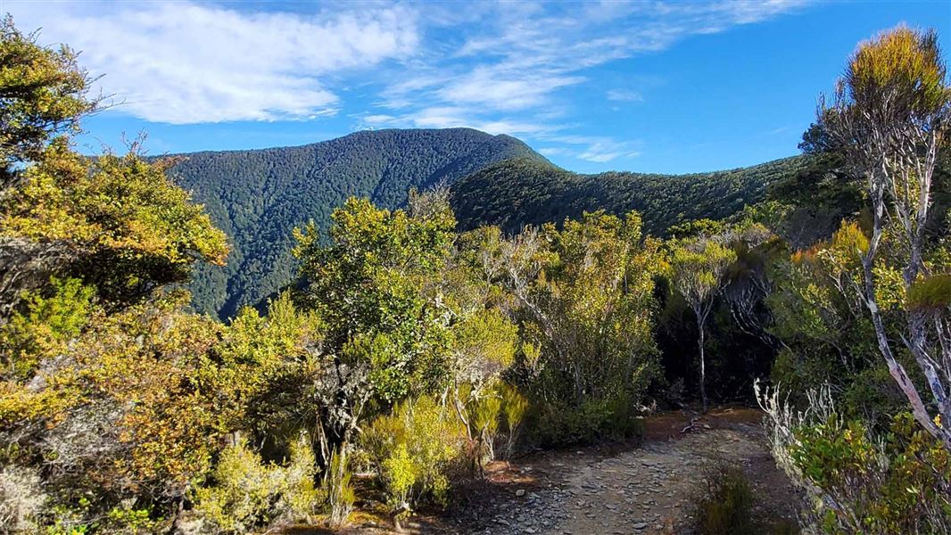
The loop climbs through regenerating and mature forest, with an option to walk to the summit on the Mount Robertson Summit Route.
For a longer trip starting from sea level, walk the Rarangi Bay–Whites Bay Track or walk/ride the Black Jack Track to get up to Port Underwood Road where the loop track begins. Note: Rarangi Bay – Whites Bay Track is not suitable for mountain bikes and is a walking track only.
Mountain biking
Grade: 3/Intermediate, 4/Advanced
Pukaka Valley extension
Predominantly ridden downhill as an extension to the loop track, this is extremely narrow and technical in places. Expect other users, particularly walkers coming uphill.
Mountain biking
Grade: 5/Expert
Mount Robertson Summit Route
Time: 4 hr return from Mt Robertson Loop Track junction
Distance: 6.4 km return
The Mount Robertson Summit Route continues from the Mt Robertson Loop Track. Follow the loop track to a junction at about 700 m altitude where the Mount Robertson Summit Route begins.
From here the track follows an obvious ridge to the summit through beech forest. This section of the track takes about two hours. There is no water supply on the track so make sure you take water with you.
At 1,036 m above sea level, Mt Robertson (Tokomaru) dominates the Scenic Reserve to which it gives its name.
Mountain biking
Grade: 3/Intermediate, 4/Advanced
Further mountain biking information
Visit the Marlborough Mountain Bike Club website for further details including the Double Eagle Downhill track.
The Mount Robertson Loop Track is well signposted from two access points on the Port Underwood Road.
The Mount Robertson Summit Route is accessed from the loop track.
- Hot, dry conditions and strong, cold winds are common in this area.
- Open fires are not permitted at any of the East Coast reserves and only portable stoves should be used for cooking.
- Watch out for wasps, especially in late summer and autumn.
These are shared-use tracks. Follow the mountain bikers code: respect others, respect the rules, respect the track.
Stay safe in the outdoors
- Choose the right trip for you. Learn about the route and make sure you have the skills for it.
- Understand the weather. Check weather forecasts.
- Pack warm clothes and extra food. Check gear lists.
- Share your plans and take ways to get help. Leave your intentions with a trusted contact and take a distress beacon.
- Take care of yourself and each other.
Whakatū/Nelson Visitor Centre
| Phone: | +64 3 546 9339 |
| Email: | nelsonvc@doc.govt.nz |
| Address: | Millers Acre/Taha o te Awa 1/37 Halifax Street Nelson 7010 |
| Hours: | Visitor centre hours and services |
