5 km one way
This track begins with a short steep bush section then leads onto an old farm track that runs along Homes Ridge.
The track ends after 4 km, 1 km before Stanfield Hut. Visitors can continue along a bush track for 300 m dropping down to the river. Follow the river upstream for 700 m to Stanfield Hut on the true right of the river (exit the river at the large orange triangles).
A loop walk can be made by walking to Stanfield Hut via the Homes Track one way and back to Tamaki West Road end via the Tamaki River West branch (or vice versa).
This track is located at the end of Tamaki West Road, Dannevirke. It is a 1 hr/60 km drive from Palmerston North and a 1 hr 30 min/130 km drive from Napier.
Park at the road end, and follow the signs 200 m to the picnic area. The track starts from the picnic area. This area has flush toilets and a shelter with picnic tables.
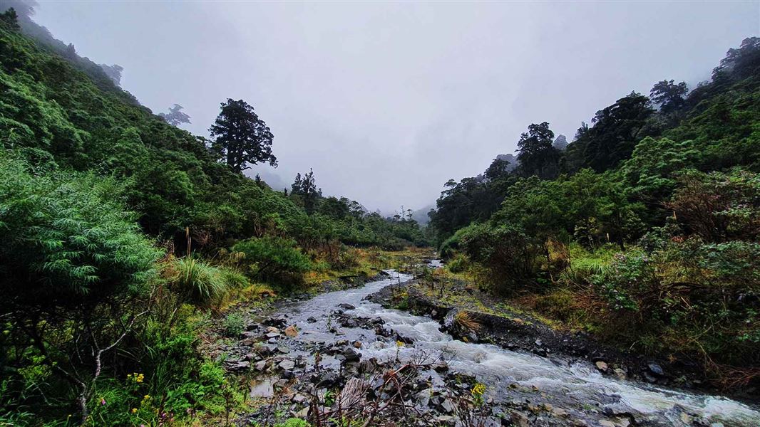
This track crosses the Tamaki River West Branch near the start of the track. This river runs high and fast at times. It’s dangerous to cross or follow the river when the water level is high which can occur during or after heavy rain. How to cross rivers safely.
Stay safe in the outdoors
- Choose the right trip for you. Learn about the route and make sure you have the skills for it.
- Understand the weather. Check weather forecasts.
- Pack warm clothes and extra food. Check gear lists.
- Share your plans and take ways to get help. Leave your intentions with a trusted contact and take a distress beacon.
- Take care of yourself and each other.
Check, Clean, Dry
Clean all gear when moving between waterways to prevent the spread of didymo and other freshwater pests.
DOC Customer Service Centre
| Phone: | 0800 275 362 |
| Email: | manawatu@doc.govt.nz |
| Address: | Te Papaioea / Palmerston North Office |
