From Lakes carpark, follow the track downhill to the right of the carpark through pine trees to reach the Tutaekuri River. Cross the river – there is no bridge for this crossing, so assess it carefully and make sure you can cross safely. If in doubt, stay out.
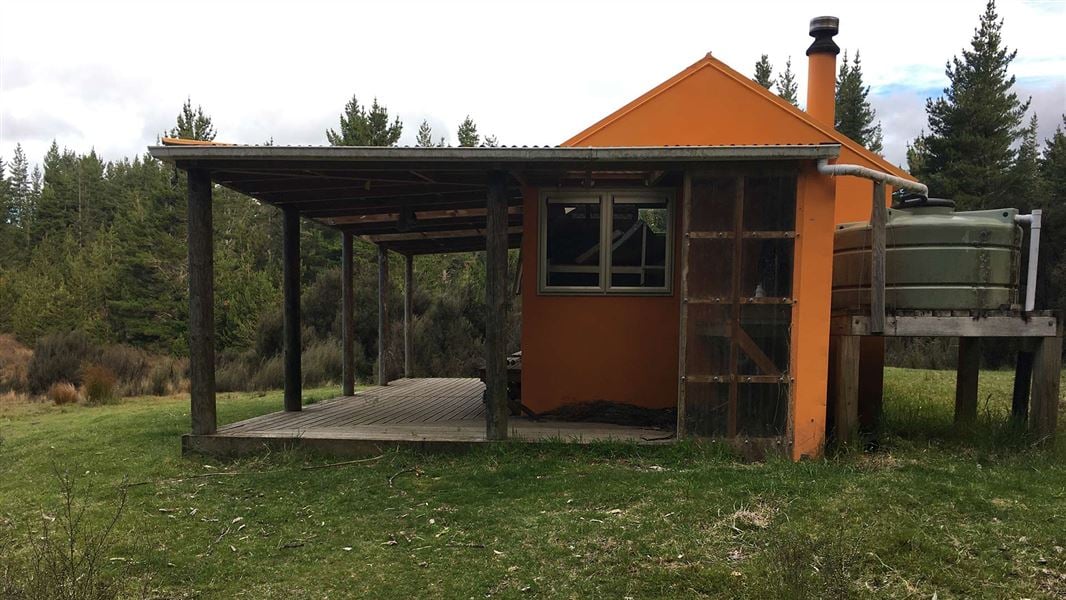
After crossing the river, climb through kanuka then beech forest over several ridges. Follow a tributary stream until it reaches a track branch. Mackintosh Hut is on the track branching to the right, the left track (Mackintosh Spur Track) provides access to the Kaweka Range. From Mackintosh Hut follow the track to the Mackintosh Carpark.
The distance by road between the two carparks is 2.5 kilometres.
Kuripapango is located 76 km from Napier on the Napier/Taihape Road. To reach the Lakes carpark, turn off the Napier-Taihape Road onto Kuripapango Road and follow the signs to Lakes carpark.
Be ready for mountain weather
This is a mountainous area. Visitors should be prepared for sudden weather changes, whiteouts, high winds on the ranges and rapidly rising water levels in rivers and streams.
Check the weather before you go. Kaweka J Summit weather forecast
Pack for all conditions and be ready for weather delays, including with an emergency shelter, spare food and a distress beacon. Packing lists
Stay safe when crossing rivers
If you plan to cross unbridged rivers, know how to cross safely and be prepared for if you cannot cross.
Do not cross if the river is flooded, you cannot find safe entry and exit points or are unsure it’s safe. Turn back or wait for the river to drop. If in doubt, stay out.
Expect a rough, slippery track
This is a backcountry tramping track and it is rough, muddy and slippery (especially after rain). It is best suited to experienced trampers with backcountry skills. You will need sturdy boots with good grip.
Fires
Extreme fire conditions can exist during summer. The park is a restricted fire area, which means permits to light fires are required all year round.
Maps
The Land Information New Zealand (LINZ) topographical maps that cover the Kaweka Forest Park are:
Topo50 map BH36 - Motutere
Topo50 map BH37 - Rangitaiki
Topo50 map BH38 - Te Haroto
Topo50 map BJ36 - Tawake Tohunga
Topo50 map BJ37 - Kuripapango
Topo50 map BJ38 - Te Pohue
Topo50 map BK37 - Tikokino
Stay safe in the outdoors
- Choose the right trip for you. Learn about the route and make sure you have the skills for it.
- Understand the weather. Check weather forecasts.
- Pack warm clothes and extra food. Check gear lists.
- Share your plans and take ways to get help. Share directly or use the Outdoor Intentions form or Plan My Walk. Take a distress beacon.
- Take care of yourself and each other.
DOC Customer Service Centre
Phone: | 0800 275 362 |
Email: | napier@doc.govt.nz |
Address: | Ahuriri / Napier Office |