9 km
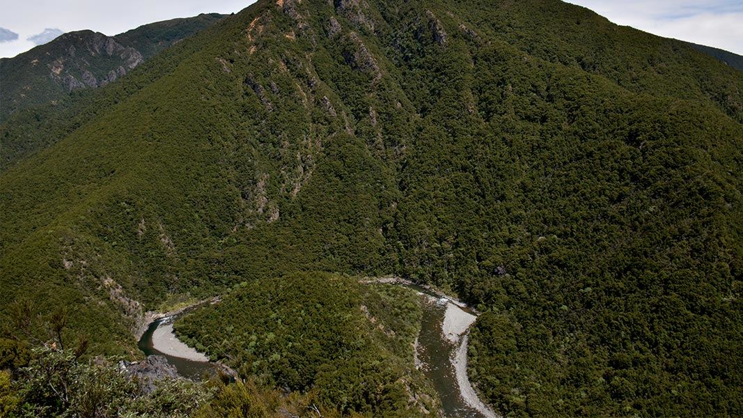
The route from Cameron Carpark to Cameron Hut follows the Ngaruroro River. It begins just upriver from the water gauge.
At least 30 river crossings are necessary, so this route is best walked when the river is low and no rain is forecast. It is not possible to walk this route when the Ngaruroro River is in flood.
This track is not maintained, and the true right of the river is private land.
The 9 km walk along the riverbed takes between 3 – 4 hours to complete.
You need good river crossings skills for this trip, including being able to judge when a river is safe to cross, knowing how to pick a good crossing point, and using safe crossing techniques.
Learn more about river crossing skills (Mountain Safety Council)
If the river is in flood or you are not confident crossing it, a longer but safer alternate route is to follow the Smith-Russell track over Kuripapango Hill (1250 metres). Head towards Kiwi Saddle Hut then turn left at the next junction and descend down to Cameron Hut.
Cameron Carpark is located approximately 70 km from Napier on the Napier/Taihape Road (just before Kuripapango).
Stay safe when crossing rivers
If you plan to cross unbridged rivers, know how to cross safely and be prepared for if you cannot cross.
Do not cross if the river is flooded, you cannot find safe entry and exit points or are unsure it’s safe. Turn back or wait for the river to drop. If in doubt, stay out.
Be ready for mountain weather
This is a mountainous area. Visitors should be prepared for sudden weather changes, whiteouts, high winds on the ranges and rapidly rising water levels in rivers and streams.
Check the weather before you go. Kaweka J Summit weather forecast
Pack for all conditions and be ready for weather delays, including with an emergency shelter, spare food and a distress beacon. Packing lists
Fires
Extreme fire conditions can exist during summer. The park is a restricted fire area, which means permits to light fires are required all year round.
This is a backcountry tramping route
This route is unmaintained and only lightly marked. You need high level navigation, survival and river crossing skills.
You will need sturdy tramping boots with good grip.
Maps
The Land Information New Zealand (LINZ) topographical maps that cover the Kaweka Forest Park are:
Topo50 map BH36 - Motutere
Topo50 map BH37 - Rangitaiki
Topo50 map BH38 - Te Haroto
Topo50 map BJ36 - Tawake Tohunga
Topo50 map BJ37 - Kuripapango
Topo50 map BJ38 - Te Pohue
Topo50 map BK37 - Tikokino
Stay safe in the outdoors
- Choose the right trip for you. Learn about the route and make sure you have the skills for it.
- Understand the weather. Check weather forecasts.
- Pack warm clothes and extra food. Check gear lists.
- Share your plans and take ways to get help. Share directly or use the Outdoor Intentions form or Plan My Walk. Take a distress beacon.
- Take care of yourself and each other.
| DOC Customer Service Centre | |
|---|---|
| Phone | 0800 275 362 |
| napier@doc.govt.nz | |
| Address | DOC offices |
