5.5 km one way
This is a challenging tramping route requiring tramping and alpine experience and is not recommended in winter-early spring due to avalanche danger.
Trampers require a high level of fitness, skills and experience and to be self-sufficient. The track can be muddy, rough and very steep.
To start this tramping route, cross the Hollyford River by the swingbridge at the top of the gorge above the Humboldt Creek junction.
The track up the north bank of Moraine Creek climbs steadily through heavy bush, crossing two rock gullies and eventually reaching Lake Adelaide. Phil’s Bivvy is further around the lake.
The track is only marked and maintained up until Tent Flat, beyond this point there are no permanent markers nor is the track maintained.
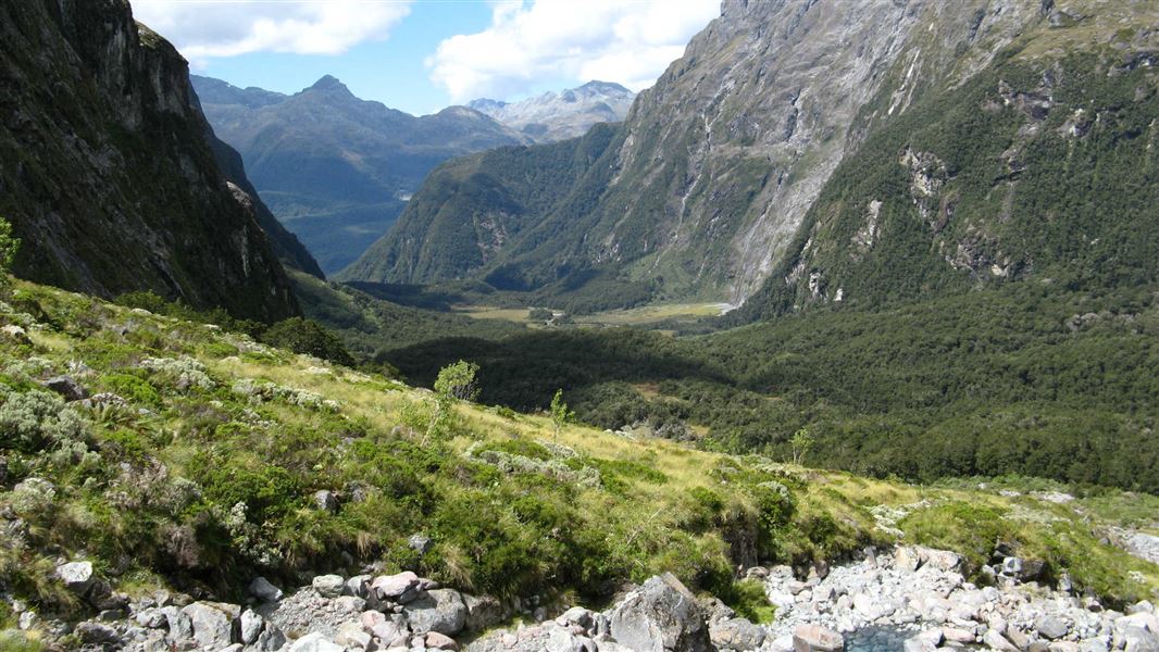
Lake Adelaide is nestled in an impressive glacial basin with sheer rock walls. This track provides excellent access to the mountains for experienced climbers.
This route starts from the end of the unsealed Hollyford Road.
To find the Hollyford Road, turn off from the Milford Road (SH94) at Marian Corner, a few minutes towards Milford Sound from The Divide. Marian Corner is about 87 km along the Milford Road from Te Anau.
Allow 2 hours to drive from Te Anau to the end of the Hollyford Road.
This is a route so you will need above average fitness and high level backcountry (remote areas) skills and experience, including navigation and survival skills.
There is avalanche risk in the entire Lake Adelaide basin especially in winter and spring, so check with the Fiordland National Park Visitor Centre for track conditions before starting.
Stay safe in the outdoors
- Choose the right trip for you. Learn about the route and make sure you have the skills for it.
- Understand the weather. Check weather forecasts.
- Pack warm clothes and extra food. Check gear lists.
- Share your plans and take ways to get help. Leave your intentions with a trusted contact and take a distress beacon.
- Take care of yourself and each other.
Te Rua-o-te-moko/Fiordland National Park Visitor Centre
| Phone: | +64 3 249 7924 |
| Email: | fiordlandvc@doc.govt.nz |
| Address: | 1 Lakefront Drive Te Anau 9600 |
| Hours: | Visitor centre hours and services |
