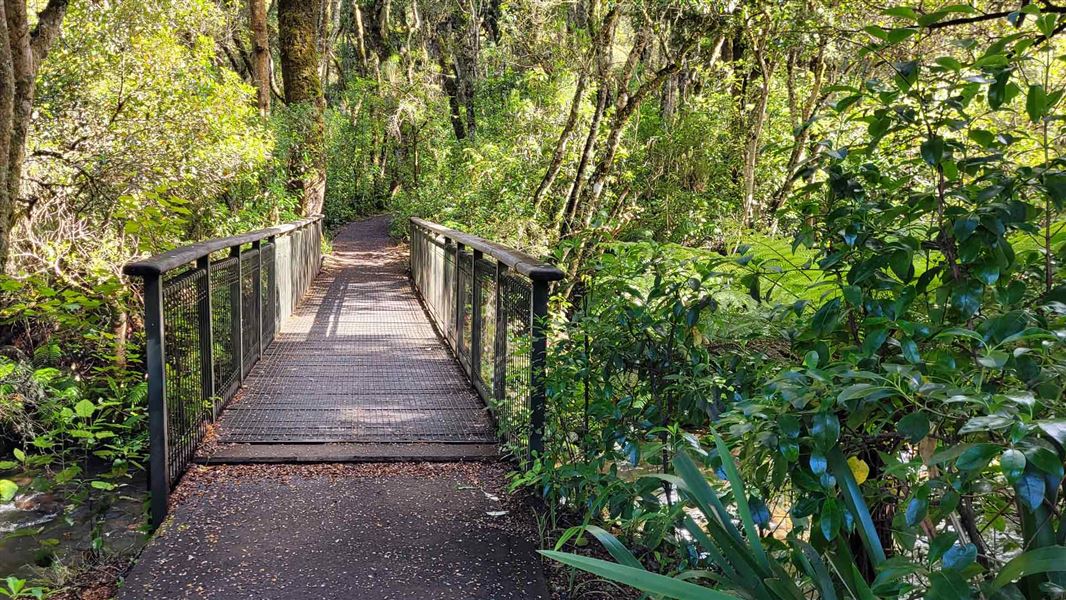
The track starts at the same entrance as the Rimu Walk.
After crossing the Mangawhero River, the track leads into a forest of kāmahi, broadleaf and five finger, with giant rimu, mataī and kahikatea reaching 30 metres or more above the forest floor. Immediately after passing through a cut log the track crosses a large volcanic crater.
At its highest point, the track crosses Ohakune Mountain Road. The track then descends down a gentle grandient back to the Ohakune DOC office.
The walk starts opposite the Ohakune DOC office at the bottom of the Ohakune Mountain Road.
Follow signage for Turoa ski field for 2 km from Ohakune township. The carpark is located on the left before Ohakune Mountain Road continues into the forest.
- Toilets are located at the carpark at the start of the track.
- Take all rubbish home with you.
- Dogs and drones are not allowed.
- Bikes are not allowed.
 No unauthorised drone use in the national park
Unauthorised use of drones is prohibited. You must have a permit to fly a drone.
DOC does not generally approve permits to fly drones in this national park and we do not recommend you apply for one.
Tongariro National Park Visitor Centre
| Phone: | +64 7 892 3729 |
| Email: | tongarirovc@doc.govt.nz |
| Address: | Whakapapa Village State Highway 48 Mount Ruapehu 3951 |
| Hours: | Visitor centre hours and services |
