There are two tools to help you assess avalanche danger:
- New Zealand Avalanche Advisory (NZAA) - based on the stability of snow and changes with the weather.
- Avalanche Terrain Exposure scale system (ATES) - based on terrain and does not change with the weather.
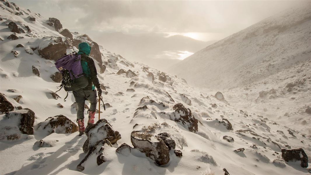
Anytime that snow and steep slopes are combined there is potential for an avalanche.
New Zealand Avalanche Advisory (NZAA)
The best way to understand the avalanche danger in Tongariro National Park is to check the New Zealand Avalanche Advisory (NZAA). The NZAA provides daily assessments of avalanche likelihood at different elevation bands and aspects, primary and secondary dangers, along with recent avalanche activity, current snowpack conditions and mountain weather. The NZAA is also available at DOC visitor centres.
The NZAA is provided by the Mountain Safety Council (MSC) as an advisory only. We recommend you also check the Tongariro National Park weather forecast as part of your trip planning.
Avalanche Terrain Exposure Scale (ATES)
The Avalance Terrain Exposure Scale (ATES) rates avalanche terrain based on the angle and shape of the ground or the number of established avalanche paths.
How ATES applies in Tongariro National Park
A large proportion of the Tongariro National Park below 1700 m is classed as simple avalanche terrain; elevations above this altitude are mainly challenging or complex avalanche terrain.
Tongariro Alpine Crossing and Tongariro Northern Circuit
Most of the Tongariro Alpine Crossing is simple terrain, however the section of track that crosses over Red Crater between South Crater and Emerald Lakes contains challenging and complex terrain, and the section of track from Blue Lake to Ketetahi contains challenging terrain.
During periods when there is snow present people should not venture past either the Ketetahi or Mangatepopo car parks without the right avalanche expertise and equipment, or should be accompanied by an experienced guide.
Mount Ruapehu
Some routes on simple terrain exist on the northern side up to the Summit Plateau area.
Approaches from all other directions and onto the summit of Ruapehu involve travel through challenging and complex terrain.
Ski areas
Avalanche control work on the ski areas is done to make the ski areas safe while they are open for skiing. Outside of normal open hours, and when the ski areas or parts of them are closed, avalanche hazards may exist in the closed terrain. During those times you need to take the ATES classification and avalanche danger level into account when travelling in them.
Iwikau Village
During periods of high or extreme avalanche danger outside of ski-area operating hours or when the ski area is closed avalanche hazard can exist at times near some club lodges and on the access routes to others. You should stick to roads, groomed tracks and stay off of any steep slopes during those periods.
ATES ratings for Tongariro National Park
You need to have the right level of experience to safely travel simple, challenging or complex terrain. To find out what experience is needed for each, check our avalanche safety page.
Simple
- Ketetahi Hut
- Blue Lake
- Emerald Lake
- South Crater
- Ketetahi car park to Ketetahi Hut
- Tama Lake Ridge Track
- Iwikau Village
- Whakapapa Ski Area
- Whakapapa Glacier
- Dome Ridge
- Turoa Ski Field–except the Jumbo T-Bar
- Blyth Hut
- The Round the Mountain Track–except the Wahianoa River
- North West Face of Hauhungatahi
- Tukino Ski Field
Challenging
- Ketetahi Hut to Central Crater
- Mt Ngauruhoe
- Tama Lakes
- Mt Tongariro
- Pukekaikiore Summit
- Wahianoa River
- South West face of Hauhungatahi
- Jumbo T-Bar, Turoa Ski Field
- Ski Line Ridge
Complex
- Red Crater
- The Pinnacles
- Ruapehu Summits
- Pukekaikiore Cliffs
Map of avalanche terrain in Tongariro National Park (PDF, 4,960K)
Avalanche season
Avalanches are the most common during the winter and spring, from July through to October, but can happen for several months either side of that period if there are heavysnowfalls. Snow can fall at any time of the year in the higher parts of the park – therefore avalanches are also possible, but not common, at other times of the year on the glaciers and the steeper higher-altitude terrain in the park.
Be avalanche aware!
If you are going into places avalanches could occur, make sure you:
- have checked the ATES class for where you want to go and the NZAA for the avalanche rating
- have the skills for the ATES class you are going into
- take an avalanche transceiver, a snow shovel and a probe. Know how to use these tools.
Download brochure
Be avalanche alert - avalanche terrain ratings: Tongariro National Park brochure (PDF, 320K)