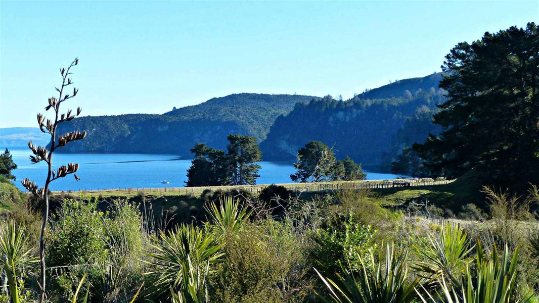
The Taupō area owes its spectacular scenery to its location in an active volcanic zone. Violent eruptions have occurred over millions of years creating the caldera (collapsed volcano) filled by the waters of Lake Taupō, extensive lava plateaux and other volcanic landforms such as Mt Tauhara.
Ash layers, ignimbrite cliffs, pumice and carbonised wood fragments provide constant reminders of a history of volcanic upheaval.
Lake Taupō facts
- The lake is 622 km² in size
- Reaches 160m in depth
- Occupies a series of old volcanic craters
- The most recent eruption occurred about 1800 years ago when 60 km³ of debris was blasted out of a single vent
- Its full name is Taupō-nui-a-Tia (the great cloak of Tia). Tia was a chief and explorer from the waka Arawa
Attracted by the lake and thermal resources, the area was settled by Maori in the late 14th century, becoming a stronghold for the Ngati Tuwharetoa people. European visitors came to the scenic heart of the North Island in the middle of the 19th century and settled here from about 1860.
Tongariro National Park Visitor Centre
| Phone: | +64 7 892 3729 |
| Email: | tongarirovc@doc.govt.nz |
| Address: | Whakapapa Village State Highway 48 Mount Ruapehu 3951 |
| Hours: | Visitor centre hours and services |
