Image gallery
There is a choice between two entry points to this track on either side of Gretas Stream. If you start from the southern car park you will pass an old derelict musterer's hut from the 1890s called Back Hut.
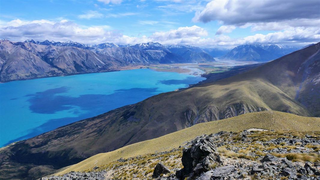
It is then a 5 km climb up the western flank of Ben Ohau/Ruataniwha Peak. You will need to deviate from the track to climb to the true summit at 1522 m.
Pass by fellfields (blocky scree) and short rock bluffs above Gretas Stream. Lower down you need to cross Gretas Stream several times so you may get wet feet.
Note that cattle may be present between Greta and Dorcy Stream.
Mountain biking
It is best to ride this track in a clockwise direction. Start north of Gretas Stream and finish with the downhill descent on the western flank of Ben Ohau/Ruataniwha Peak.
This is a shared-use track. Follow the mountain bikers code: respect others, respect the rules, respect the track.
For the Greta Track, Dorcy Track and the eastern end of Lake Ohau Track, take Glen Lyon Road from Twizel.
Map: NZTopo50 BZ14, BZ15
Stay safe in the outdoors
- Choose the right trip for you. Learn about the route and make sure you have the skills for it.
- Understand the weather. Check weather forecasts.
- Pack warm clothes and extra food. Check gear lists.
- Share your plans and take ways to get help. Leave your intentions with a trusted contact and take a distress beacon.
- Take care of yourself and each other.
Aoraki/Mount Cook National Park Visitor Centre
| Phone: | +64 3 435 1186 |
| Email: | mtcookvc@doc.govt.nz |
| Address: | 1 Larch Grove Aoraki/Mount Cook 7999 |
| Hours: | Visitor centre hours and services |
