Visit Staveley lime kilns, built in the late 1800s and excellent examples of early New Zealand industry.
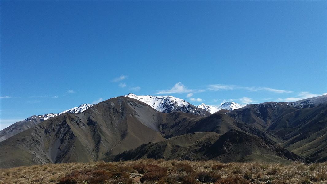
Mt Somers Conservation Area is in the foothill ranges of the Southern Alps, inland mid-Canterbury. The closest towns are Staveley village, and Mt Somers township.
Staveley village is inland from Ashburton, 1.5 hours drive west from Christchurch. Take the inland Scenic Highway 72. At Staveley, turn off (at signpost) and follow the road to Sharplin Falls car park.
Access to Woolshed Creek is also off SH 72 at Mount Somers township. From the township, follow the Ashburton Gorge Road for 10 km before turning right onto Jig Road, then 3.5 km to Woolshed Creek picnic area.
Geology
The bulk of the mid Canterbury area is composed of greywacke but Mount Somers is composed of extensive volcanic formations of Andersite, Pitchstone and Rhyolite. As a result its soils are less fertile than neighbouring Mount Peel or Mount Hutt and have a very different flora. The rugged northern and southern faces of Mount Somers mark major fault lines, exposing columns and cooling fractures. The main economic minerals of the area are silica, sand, limestone, coal and kaolin clay.
Plant life
Botanically, Mount Somers is very special among the peaks of Canterbury. The plateau-like poorly drained summit, combined with low soil fertility and high rainfall, provides an ideal habitat for many bog species. The walkway passes through a variety of plant communities including regenerating beech forest. One of the highlights is the variety of plants at different altitudes. Interesting alpine vegetation including Hebes, Dracophyllum uniflorum, Astelia nervosa, bog pine Dacrydium bidwillii, snow tōtara Podocarpus nivalis, toatoa; Phylocladus alpinus, mountain flax; Phormium cookianum and Myrsine nummularia can be found near the Pinnacles Hut.
Wildlife
Common exotic and native birds are found throughout the area. Of particular interest is the New Zealand falcon/kārearea which nests on Mount Somers. Not so likely to be seen is the Mount Somers bluff wētā Deinacrida. First discovered in the lower Woolshed Creek catchment in 1957, this wētā was rediscovered in 1995 in Woolshed Creek. With black and bright orange legs, white joints and antennae 12.5 cm long, it is very spectacular and distinct.
The first visitors to the area are believed to have been in moa-hunter Māori times, 500-800 years ago. Although no permanent sites of occupancy are documented, primitive drawings in rock shelters on Mount Somers are evidence of these early visitors. The Māori name for Mount Somers is Te Kiekie.
Since the early days of European occupation more than 125 years ago, the Mount Somers region has been the site of a variety of enterprises. One of these was coal extraction.
Coal deposits were first discovered in 1856, and by 1864 commercial extraction had begun. A railway track (known as a jig) built by pick and shovel transported the coal. The jig had a very steep gradient and reached to 760 m above sea level, before finally levelling out through a gap blasted out of solid rock.
Coal from the area was generally low quality lignite and burned poorly. Mining continued until 1954 when it became uneconomic and several underground fires finally forced closure.
Historic Staveley lime kilns
The lime kilns of Staveley in Mid-Canterbury are fascinating examples of a New Zealand industry prior to the turn of the century. Read more about the lime kilns.
Aoraki/Mount Cook National Park Visitor Centre
| Phone: | +64 3 435 1186 |
| Email: | mtcookvc@doc.govt.nz |
| Address: | 1 Larch Grove Aoraki/Mount Cook 7999 |
| Hours: | Visitor centre hours and services |
