8.3 km one way

Mount Hutt from Scotts Saddle
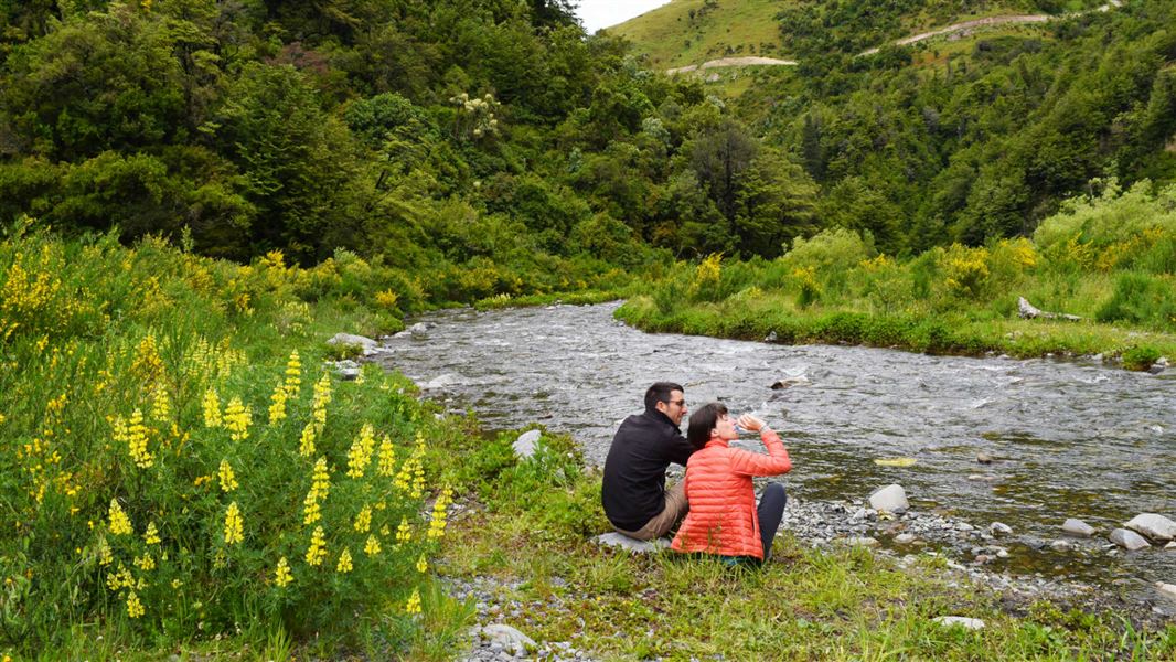
This route follows the stream bed. Pudding Hill Stream is negotiable in all but flood conditions. However, about 1 km upstream of the turn onto Mount Hutt Range the stream bed narrows into a steep-sided gorge, which makes further progress difficult.
Caution: This route involves repeated crossings of Pudding Hill Stream. Trampers should be prepared for cold, wet or windy conditions.
This route can be accessed from the western end of Alder Track (accessed from Awa Awa Rata Reserve at the end of McLennans Bush Road, which is off Arundel Rakaia Gorge Road and is 12.5 km from Methven) or from Hart Road.
The area can also be accessed from Mt Hutt Skifield access road. During summer, there is a locked gate at Scotts Saddle; you will need to walk from here.
Mount Hutt Forest is mostly mountain beech/tawhairauriki, with broadleaf/pāpāuma, Hall’s tōtara, fuchsia/kōtukutuku, marble leaf/putaputāweta, kōhūhū and pōkākā. Crown fern/piupiu and bush lawyer/tātarāmoa occupy the forest floor. Above the bushline the vegetation changes to alpine herbs, shrubs and snow tussock/wī kura.
Forest birds include bellbird/korimako, rifleman/tītitipounamu and grey warbler/riroriro. New Zealand pipits/pīhoihoi and occasionally kea are seen above the bushline.
Stay safe in the outdoors
- Choose the right trip for you. Learn about the route and make sure you have the skills for it.
- Understand the weather. Check weather forecasts.
- Pack warm clothes and extra food. Check gear lists.
- Share your plans and take ways to get help. Leave your intentions with a trusted contact and take a distress beacon.
- Take care of yourself and each other.
Aoraki/Mount Cook National Park Visitor Centre
| Phone: | +64 3 435 1186 |
| Email: | mtcookvc@doc.govt.nz |
| Address: | 1 Larch Grove Aoraki/Mount Cook 7999 |
| Hours: | Visitor centre hours and services |
