830 m | 820 m - 2.2 km one way
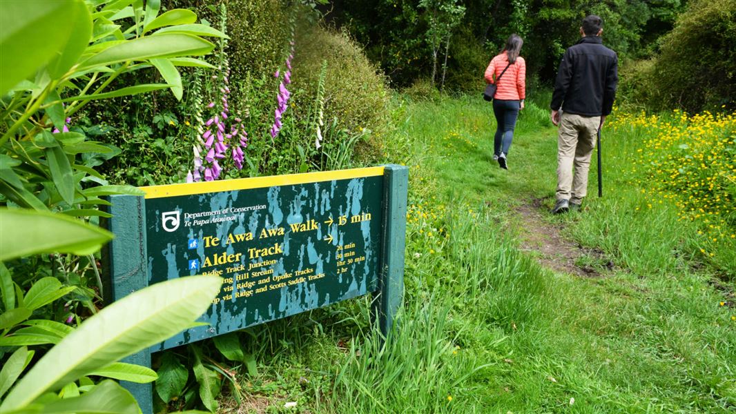
Alder Track
Time: 30 min one way
Distance: 830 m
This track starts in Awa Awa Rata Reserve and goes through alder-covered flats at the base of the hill. It then climbs through a larch plantation to connect with the southern end of Ridge Track.
Opuke Track
Time: 30 min one way
Distance: 820 m
This track connects Ridge Track with the end of the metalled road through Awa Awa Rata Reserve.
Ridge Track
Time: 45 min one way
Distance: 2.2 km
This track follows the ridge above Pudding Hill Stream and connects with Alder, Opuke and Scotts Saddle tracks.
Mount Hutt Forest can be accessed from Awa Awa Rata Reserve at the end of McLennans Bush Road, which is off Arundel Rakaia Gorge Road and is 12.5 km from Methven.
The area can also be accessed from Mount Hutt Skifield access road. During summer, there is a locked gate at Scotts Saddle. You will need to walk from here.
Wasps may be present in high numbers, particularly during summer. Consider carrying an antihistamine product and if you are allergic to stings, ensure you bring your medication.
No mountain biking is allowed on these tracks.
Aoraki/Mount Cook National Park Visitor Centre
| Phone: | +64 3 435 1186 |
| Email: | mtcookvc@doc.govt.nz |
| Address: | 1 Larch Grove Aoraki/Mount Cook 7999 |
| Hours: | Visitor centre hours and services |
