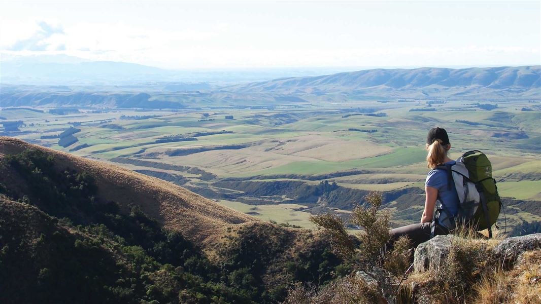
Most of the public lands along the Hunter Hills are accessible from Backline Road. From Tīmaru, go south on SH 1 for 30 km, turn inland onto Hook/Hunter Road at Makikihi. Public access is not necessarily available in every case so if it is not indicated along the roadside you must check with the landowner before entering.
Weather is similar to Tīmaru, with warm summers and mild to cool winters. Snowfall on the higher parts of the hills is common during the winter periods. Rainfall is marginally higher than the lower coastal section and is about 1000 mm per year.
Vegetation
The forest here consists of hardwood species and podocarps, including the familiar Pittosporum Coprosma sp.and wineberry/makomako.
At higher elevations there are sub-alpine species, while lower down, there are scattered Podocarps on river terraces. In the north at Tasman Smith, silver beech/tawai makes an unusual appearance.
A few notable plant species have been recorded at both low and high altitudes including Teucridium parvifolium, Helichrysum plumeum and Brachyglottis sciadophila.
Wildlife
Runoff from the hills gives rise to mountain streams and rivers. These short, energetic streams have carved out the landscape and provide homes to a range of indigenous fish. Lizards and skinks are also found here, with common skinks in large numbers, and some confirmed reports of the screen skink Oligosoma waimatense.
Birdlife
Bird life is varied, with both introduced and native species. Natives include NZ bush falcon/kārearea, bellbird/korimako/makomako, fantail/ pīwakawaka, brown creeper/pīpipi, yellow-breasted tit/miromiro, grey duck/pārera, blue duck/whio. Isolated sightings recorded within the Otaio catchment include pigeon/kererū, South Island rifleman/tītipounamu, shining cuckoo/pīpīwharauroa (seasonally), and occasional sightings of tūī.
Geology
The Hunter Hills block is bounded by faults along both the eastern and western side. As with most of the Canterbury ranges it is made up mostly of greywacke rocks, formed from hardened, mixed marine sands and mud compressed underground then uplifted by tectonic movement.
Virtually the whole of the region has been influenced by human occupation. Māori used it primarily for resource gathering.
On one of these trips, tragedy overtook a party led by the Chief Te Kaumira. A storm separated the aged chief from the others and he sought shelter in a cave (Te Ana a Te Kaumira) in the headwaters of the Pareora. Unfortunately he froze to death there. Mt Nimrod became Te Tahu a Te Kaumira and the Hunter Hills became Te Tari a Te Kaumira.
European settlement bought with it rapid forest clearance. Sawmilling powered by steam proved a disaster as catastrophic fires resulted. Further land clearance for settlement reduced forest areas to its present extent.
A local point of historic interest records the unusual, early occupation of a pastoral run to the east of the main hill country by Jenny Collier, the first woman to acquire a pastoral run (circa 1855). Also of interest are the remnants of an early in-stream hydro-electric power plant at Otaio Gorge that serviced the Otaio Station.
Aoraki/Mount Cook National Park Visitor Centre
| Phone: | +64 3 435 1186 |
| Email: | mtcookvc@doc.govt.nz |
| Address: | 1 Larch Grove Aoraki/Mount Cook 7999 |
| Hours: | Visitor centre hours and services |
