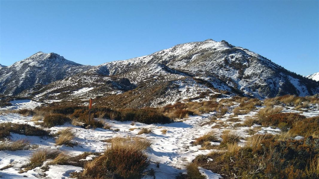
The track from Clarence Valley Road is the most popular track to the summit.
Begin at Clarence Valley Road car park and journey through European and Japanese larches before entering subalpine scrub and open grassland.
The track makes its way through the forested lower slopes before emerging above the tree line. Above the treeline you enter sub-alpine terrain. There are rocky sections and the temperature can drop. Be prepared with hiking boots and warm layers.
Continue to the summit of Mt Isobel (1324 m) for wide open views of Hanmer Basin and beyond. The summit is marked with a trig marker.
This walk is best suited to experienced, fit, trampers. The track is exposed at the tops. Pack warm clothes.
Snow can cover the summit during winter.
Hanmer Springs, at an altitude of 385 metres, is 135 kilometres north of Christchurch, off Lewis Pass Highway.
Entry to Hanmer Forest on foot is unrestricted except in times of fire danger or for public safety. Some tracks may be closed for harvesting operations – please respect the signs.
A red flag flying outside the the information centre and community hall indicates all tracks are closed because of extreme fire danger.
Please report all suspicious fires immediately - dial 111.
Wasp populations reach high numbers from January to March – wear light coloured clothing and carry antihistamine cream/tablets as a precaution.
Stay safe in the outdoors
- Choose the right trip for you. Learn about the route and make sure you have the skills for it.
- Understand the weather. Check weather forecasts.
- Pack warm clothes and extra food. Check gear lists.
- Share your plans and take ways to get help. Leave your intentions with a trusted contact and take a distress beacon.
- Take care of yourself and each other.
Arthur's Pass National Park Visitor Centre
| Phone: | +64 3 318 9211 |
| Email: | arthurspassvc@doc.govt.nz |
| Address: | 104 West Coast Road Arthur's Pass 7654 |
| Hours: | Visitor centre hours and services |
