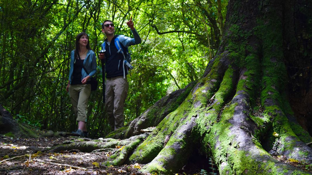
- Talbot Forest is located on the outer edge of Geraldine.
- Waihī Gorge and Orari Gorge Scenic Reserves are all located off highway 72, west through Geraldine.
- Hae Hae Te Moana Scenic Reserve is situated off highway 79, to the southwest of Geraldine. This route also provides the link with Pioneer Park. Turn off the highway to the left, a few hundred metres over the Opuha River.
- Most of the areas are signposted at some point by distinctive, yellow Automobile Association signs.
Talbot Forest, Waihī Gorge, Orari Gorge and Te Moana Scenic Reserve are treasured remnants of a vast forest that used to cover the mid-Canterbury plains. Pioneer Park, lying west of Pleasant Point on the foothills flanking the Brothers Range, also gives insight into early pioneering history in the area.
Vegetation
Before human arrival, a dense blanket of grassland and forest sprawled down from the high land and out across the plain. Human occupation and settlement led to fire and clearance and that all that remains of the original extensive bush are scattered pockets. Talbot Reserve today protects a mere 28 hectares.
The forest type here is largely mixed podocarp hardwood with some subtle changes in response to rainfall and other natural features. At Waihī Reserve you can see a few black beech/tawairauriki.
View list of plants in the Talbot Forest Scenic Reserve.
Wildlife
Local fossil records show species long since disappeared, including moa, kiwi, kākāpō and the laughing owl/whēkau.
Native birds found here include bellbird/korimako, pigeon/ kererü, grey warbler/riroriro and fantail/pïwakawaka. Others such as the shining cuckoo/pïpïwharauroa make seasonal appearances during spring and summer.
Small streams flowing out along the hills provide a habitat for small native fish, eels/tuna and invertebrates. Some of the streams also contain introduced trout.
The nocturnal, native longtailed bat/pekapeka is also found here in tree and rock habitats, but in reduced numbers.
Geology
Grey to russet quartzose sandstone (greywacke), occasional submarine volcanics, and sequences of limestone and coals laid down in predominantly marine conditions, were all uplifted, faulted and eroded over time to form the hills and mountains of the district.
The Talbot Forest Scenic Reserve site is on top of a 2.5 million-year-old basaltic lava flow. This flow, along with similar larger flows about Timaru, represents the most recent South Island mainland volcanic activity.
The dominant peak names of the area come from Tarahoa and his wife Hua te kerekere. Following their shipwreck at Shag Point they moved north and spent their lives on the east coast. On their death they were transformed into what is known today as Mt Peel (Tarahaoa) and Little Mount Peel/Hua te kerekere. Their son and daughter became two majestic forest trees and their four grandchildren became what is now known as “Four Peaks”. Only two of the four Māori names are known today – Whaka Tamiro and Hine Kua
Much of the early European activity in the area centred round logging of the bush.
At Pioneer Park an old chimney within a protective shelter marks the homestead site of William Burke, an early pioneer explorer of South Canterbury. On this site he built a slab and daub hut. The name Pioneer Park celebrates the life of the early pioneer families including some who had the foresight to recognise the value of trees in a landscape.
Aoraki/Mount Cook National Park Visitor Centre
| Phone: | +64 3 435 1186 |
| Email: | mtcookvc@doc.govt.nz |
| Address: | 1 Larch Grove Aoraki/Mount Cook 7999 |
| Hours: | Visitor centre hours and services |
