5.8 km one way
This track is part of the Te Ara Pātaka/Summit Walkway.
This is the one of three and the easiest track to Packhorse Hut. It is marked with orange-topped poles.
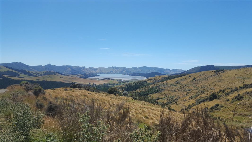
From the car park, take the marked track below the logging road. Soon it crosses open paddocks with lovely views over Lyttelton Harbour/Whakaraupō. When you leave the paddocks and encounter the logging road for the second time, do not walk along it – make sure you cross over the road to enter the pine forest.
The track climbs through the forest, eventually re-emerging into open land, then skirts below the Remarkable Dykes volcanic rock formations. The track ends at the historic Sign of the Packhorse Hut.
This section of the track is maintained by the Christchurch City Council.
The track starts near the crest of Gebbies Pass Road on the Lyttleton side, where there is a small car park. This is a 30 minute drive from Christchurch.
The track is suitable for people with moderate backcountry skills and experience. It's rough and steep in places.
The track is exposed to all weathers. It can be windy, cold and prone to low cloud in poor weather.
Water and a non-flush toilet are only available at the hut.
Arthur's Pass National Park Visitor Centre
| Phone: | +64 3 318 9211 |
| Email: | arthurspassvc@doc.govt.nz |
| Address: | 104 West Coast Road Arthur's Pass 7654 |
| Hours: | Visitor centre hours and services |
