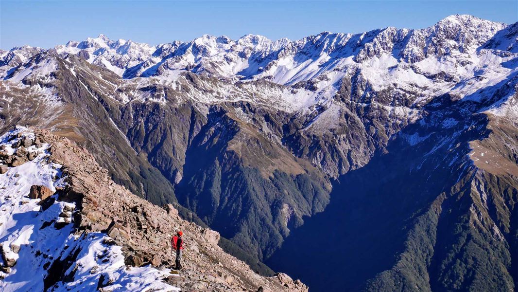
This track is for experienced trampers
It is steep and rugged. Stay on the track by following the orange markers. Share your plans with a trusted contact.
Be prepared for delays or an unexpected night out. Carry warm and waterproof clothes, an emergency shelter, spare food, a torch with extra batteries, a distress beacon, and a fully charged mobile phone.
Walking above the bushline
If you plan to go above the bushline, you need to seek advice from Arthur’s Pass Visitor Centre staff before going on your trip. There is no marked track above the bushline.
What to take
Take a compass and map, and know how to use them. Conditions can change rapidly and you may need these for navigation if visibility deteriorates.
Do not proceed above the bushline on to the open tops unless you have sturdy footwear, a waterproof parka and spare warm clothing including warm headwear and gloves.
Weather
Check the Arthur's Pass National Park weather forecast before you go. Walking above the bushline is recommended only in good weather conditions as you need good visibility to find your way. Above the bushline you are very exposed to the severity of the mountain weather.
If it is raining, stormy or there is low cloud around the mountains, there will probably be no views above the bushline. Conditions will be unpleasant at best and dangerous at worst.
Expect snow, ice and avalanche risk in winter
This track can be covered in snow in winter. When snow is present, you will need an ice axe, crampons, an avalanche transceiver, probe and shovel, plus avalanche assessment skills.
One or more avalanche paths cross this track. Avalanches are more likely to cross the track during and after heavy snow or rain when there is already a lot of snow on the high mountains. The avalanche paths on this track are not marked.
