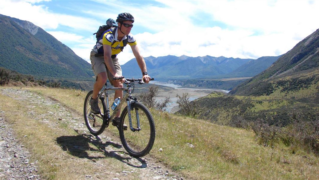
Arthur's Pass mountain biking tracks
Located in Arthur's Pass National Park in the Canterbury region
|
Introduction
The Poulter valley offers great scenery, some challenges and a good hut for an overnight stay.Dog access
Mountain biking is generally only permitted on formed roads within national parks. Following a trial on the potential impact of mountain biking in national parks, the Arthur’s Pass Management Plan was amended in 2012 to allow for one of the few mountain bike tracks in national parks.
Mt White Road
Grade 1: Beginner
Distance: 25 km
Time: 2 hr
Other users: vehicles
The Mt White Road traverses along tussock flats bordering the grand Waimakariri River, with wide sweeping views up the valley. Approximately 25 km of unsealed road, allow approximately 2 hours from Mt White Bridge to Poulter River one way.
Mt White Road turns off from SH73 just before the highway drops down to follow the Waimakariri, about 25 km east of Arthur’s Pass village.
Poulter valley
Grade: Grade 3 (Intermediate) to park boundary, Grade 2 (Easy) beyond park boundary
Distance: 20 km
Time: 3 hr 30 min
Other users: trampers, hunters
The trip offers bikers great scenery, some challenges and a couple of good huts for an overnight stay. Mountain bikers must keep to the specified route.
From Mt White Road, follow the obvious track for 13 km, across river terraces and fans to reach the park boundary fence. The ride is a grunt in places. This stretch follows a 4WD track through Mt White Station and may be closed at times during the year. Respect stock and farm activities.
From the park boundary fence, it is easy riding along an old 4WD track over river flats to the new Casey Hut on a terrace overlooking the Poulter River. The original Casey Hut burnt down in 2015, and a 12-bunk replacement hut was opened in August 2020 on a new site.
The last 1.5 km of the track has been diverted to follow the river to the hut, rather than entering the beech forest.
Beyond the Casey Hut, cross the Casey Stream and follow another 4WD track across river flats for another four km to reach the Trust/Poulter Hut - the end point for mountain-bike access.
These are shared-use tracks. Follow the mountain bikers code: respect others, respect the rules, respect the track.
Arthur's Pass National Park is rugged, mountainous and not as developed as most other national parks.
Bikers should take a topo map (Cass BV21) and check the weather forecast before venturing out. River-crossing skills are essential.
The Poulter river has a stock exclusion fence across the lower river. This can act as a strainer for rafters or people in the river.
For more safety information, view the Tramping in Arthur's Pass brochure (PDF, 744K)
Mt White Station easement access
There are no seasonal restrictions for 2023. There is a locked gate at the start of the Poulter River access that you may need to lift your bike over.
Stay safe when crossing rivers
If you plan to cross unbridged rivers, know how to cross safely and be prepared for if you cannot cross.
Do not cross if the river is flooded, you cannot find safe entry and exit points or are unsure it’s safe. Turn back or wait for the river to drop. If in doubt, stay out.
Contacts
Arthur's Pass National Park Visitor Centre | |
---|---|
Phone | +64 3 318 9211 |
arthurspassvc@doc.govt.nz | |
Address | 104 West Coast Road Arthur's Pass 7654 |
Hours | Visitor centre hours and services |